SUMMARY
This is AI generated summarization, which may have errors. For context, always refer to the full article.
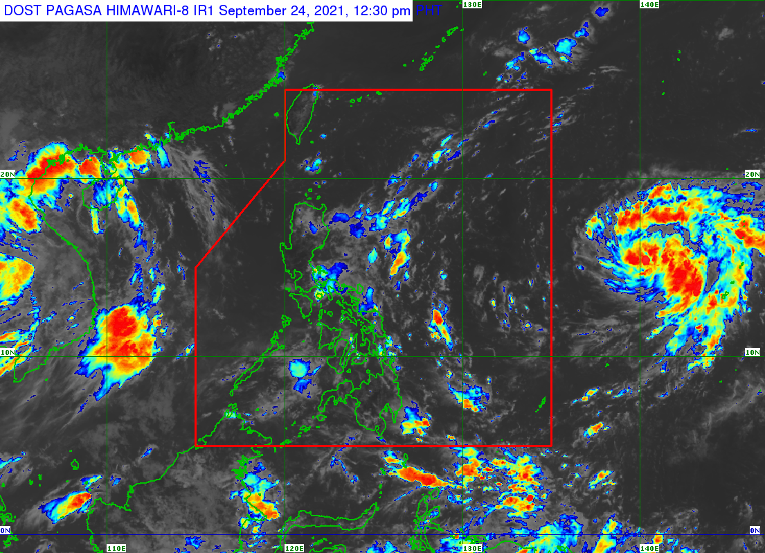
The weather bureau is monitoring a tropical cyclone with the international name Mindulle, located outside the Philippine Area of Responsibility (PAR).
Mindulle intensified from a tropical storm into a severe tropical storm at 8 am on Friday, September 24.
The Philippine Atmospheric, Geophysical, and Astronomical Services Administration (PAGASA) said in an advisory late Friday morning that Severe Tropical Storm Mindulle was located 1,905 kilometers east of Southern Luzon.
It is moving west northwest at 20 kilometers per hour, with maximum sustained winds of 95 km/h and gustiness of up to 115 km/h.
If Mindulle maintains its speed and direction, it could enter PAR on Sunday, September 26, or Monday, September 27.
Once it enters PAR, it would be given the local name Lannie. (READ: LIST: PAGASA’s names for tropical cyclones in 2021)
For now, Mindulle or the potential Lannie is seen to remain far from the Philippines. It will not approach land and it is “unlikely to directly affect the weather condition of the country.”
But PAGASA said the tropical cyclone could cause moderate to rough seas, with waves up to 2.8 meters high, in the northern and eastern seaboards of Luzon starting Monday.
Mindulle is also expected to “rapidly intensify” further and could become a typhoon within 24 hours, or by Saturday, September 25, at the latest. This means that it may already be a typhoon by the time it enters PAR on Sunday or Monday.
PAGASA sees Mindulle reaching a peak intensity of around 205 km/h by Monday, still a typhoon. (READ: FAST FACTS: Tropical cyclones, rainfall advisories)
It would be the Philippines’ 12th tropical cyclone for 2021. The country has an average of 20 tropical cyclones per year.
The international name Mindulle was contributed by North Korea. – Rappler.com
Add a comment
How does this make you feel?
There are no comments yet. Add your comment to start the conversation.