SUMMARY
This is AI generated summarization, which may have errors. For context, always refer to the full article.
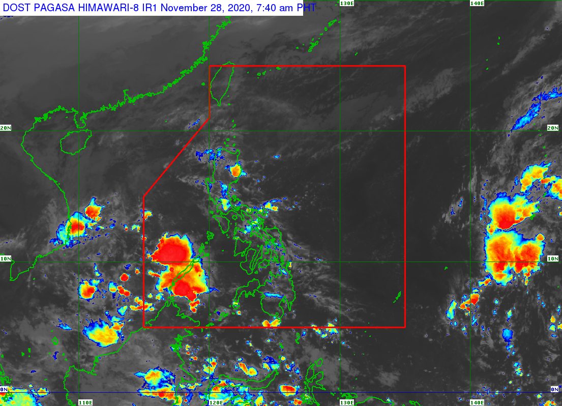
The tail-end of a frontal system will continue to affect Northern Luzon on Saturday, November 28, prompting the state weather bureau to warn of possible floods in low-lying areas near the Cagayan River Basin.
The Philippine Atmospheric, Geophysical, and Astronomical Services Administration (PAGASA) said in its 4 am forecast on Saturday that the tail-end of a frontal system is bringing rain to the eastern part of Northern Luzon.
PAGASA Weather Specialist Benison Estareja explained in an online briefing that the frontal system is the boundary between warm and cold air. The extension or tail-end of this frontal system is causing the rain.
In particular, these are the affected areas:
Scattered to widespread rain and thunderstorms
- mainland Cagayan
- Isabela
- Apayao
- Abra
- Kalinga
- Mountain Province
- Ifugao
Scattered rain showers and thunderstorms
- Quirino
- Nueva Vizcaya
- Aurora
- Benguet
Meanwhile, the northeast monsoon or hanging amihan will trigger rain in the rest of Northern Luzon, particularly:
- Ilocos Region
- Batanes
- Babuyan Islands
The easterlies, or warm winds coming from the Pacific Ocean, are affecting the rest of the Philippines.
Scattered rain showers and thunderstorms
- Eastern Visayas
- Caraga
- Davao Region
Isolated rain showers and thunderstorms
- rest of the country
All of the areas mentioned above should watch out for possible flash floods and landslides during periods of moderate to heavy rain. (READ: FAST FACTS: Tropical cyclones, rainfall advisories)
But PAGASA specifically issued a flood bulletin at 5 am on Saturday for the Cagayan River Basin.
The state weather bureau’s Cagayan River Basin Flood Forecasting and Warning Center noted that moderate to heavy rain from the tail-end of a frontal system is seen to persist in the next 12 hours.
The water level of the Cagayan River and its tributaries will slowly rise, which means flooding is possible. Residents and local officials must be on alert.
Below are the parts of the river and the corresponding low-lying areas in Isabela and Cagayan likely to be affected, based on PAGASA’s flood bulletin.
Upper Cagayan (including tributaries Ganano and Magat)
- Isabela – San Agustin, Jones, Echague, Alicia, Angadanan, Cauayan, Naguilian, Reina Mercedes, San Mateo, Cabatuan, Aurora, Luna
Middle Cagayan (including tributaries Siffu-Mallig and Pinacanauan rivers of Ilagan, Tumauini, San Pablo)
- Isabela – Gamu, Ilagan, San Mariano, Tumauini, Delfin Albano, Sto Tomas, Cabagan, Sta Maria, San Pablo
Lower Cagayan (including tributaries Pinacanauan de Tuguegarao, Chico, Pared, Dummun)
- Cagayan – Peñablanca, Tuguegarao City, Enrile, Solana, Iguig, Amulung, Alcala, Baggao, Lasam, Gattaran, Lal-lo, Camalaniugan, Aparri, Tuao, Piat, Sto Niño
Here is the full flood bulletin:
The last tropical cyclone to hit the Philippines, Typhoon Ulysses (Vamco), had contributed to massive flooding in Cagayan Valley. About a third of the 73 deaths due to Ulysses were from the region.
Ulysses was the Philippines’ 21st tropical cyclone for 2020, already above the yearly average of 20. (READ: LIST: PAGASA’s names for tropical cyclones in 2020)
For the next 6 months, these are PAGASA’s estimates for tropical cyclones inside PAR:
- December 2020 – 1 or 2
- January 2021 – 0 or 1
- February 2021 – 0 or 1
- March 2021 – 0 or 1
- April 2021 – 0 or 1
- May 2021 – 0 or 1
La Niña has been underway since October, causing more rain than usual in the country.
The northeast monsoon also began in November, bringing cold temperatures. – Rappler.com
Add a comment
How does this make you feel?
There are no comments yet. Add your comment to start the conversation.