SUMMARY
This is AI generated summarization, which may have errors. For context, always refer to the full article.
MANILA, Philippines – State volcanologists recorded 11 more harmonic tremors from Taal Volcano in the past 24 hours, indicating that magma is still moving beneath its crater.
A harmonic tremor is a type of volcanic earthquake where the shaking is prolonged. The United States Geological Survey (USGS) states on its website that harmonic tremors “often precede or accompany volcanic eruptions.”
The Philippine Institute of Volcanology and Seismology (Phivolcs) said on Thursday, February 6, that the Taal Volcano Network recorded 132 volcanic earthquakes in the past 24 hours, including the 11 harmonic tremors lasting 2 to 3 minutes each.
The number of volcanic earthquakes is lower compared to the previous 24-hour period, when there were 156 volcanic earthquakes, 18 of which were harmonic tremors.
But the latest figures mean there have now been 32 harmonic tremors since January 30.
There were also 3 low-frequency events among the volcanic earthquakes in the past 24 hours. These are “caused by cracks resonating as magma and gases move toward the surface,” said USGS on its website.
Phivolcs stressed that the volcanic earthquakes show “magmatic activity beneath the Taal edifice that could lead to eruptive activity at the main crater.”
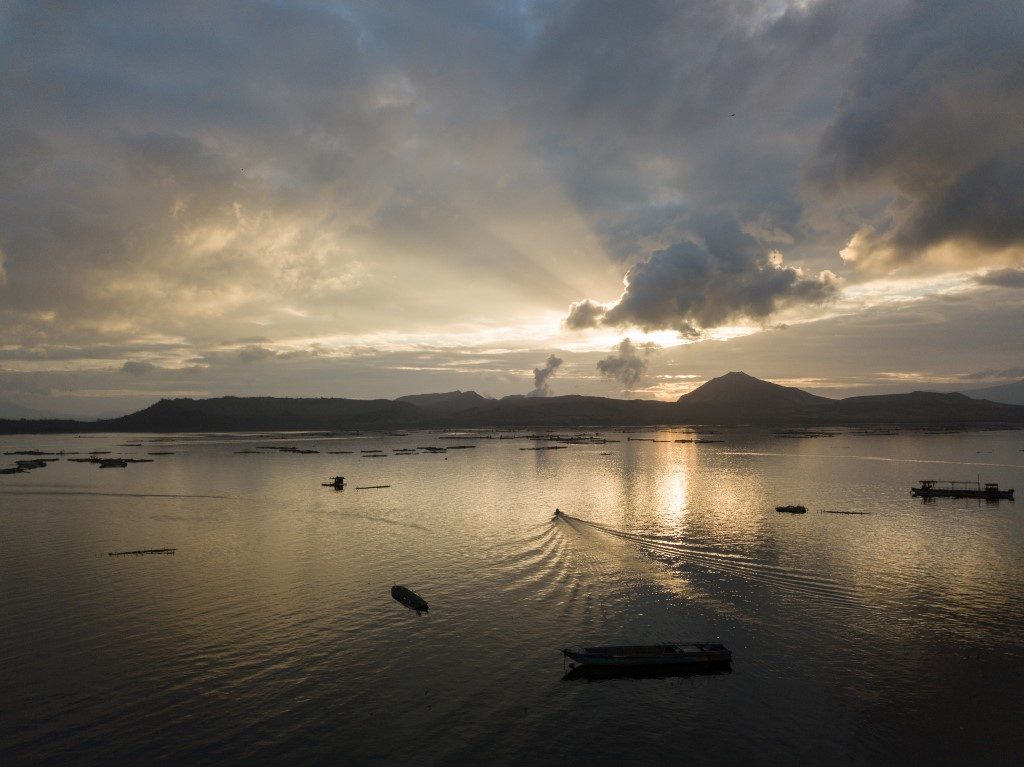
At the main crater itself, “weak emission of steam-laden plumes 50 to 100 meters high” persisted for the second straight day.
But the emission of sulfur dioxide (SO2), a major gas component of magma, was “below instrumental detection” or too low to be detected.
SO2 emission was previously measured at an average of 55 tons per day on Tuesday, February 4.
Taal has been under Alert Level 3 since January 26. Before that, Alert Level 4 had been raised for a couple of weeks, starting January 12.
If all of the indicators monitored by Phivolcs consistently go down within a two-week period, Taal’s status could be lowered to Alert Level 2. If the opposite happens, the volcano may be brought back to Alert Level 4.
The highest category is Alert Level 5, which would be raised if a hazardous eruption occurs. (READ: FAST FACTS: Taal Volcano alert levels)
Phivolcs reiterated that the following remain possible:
- sudden steam-driven and even weak phreatomagmatic explosions
- volcanic earthquakes
- ashfall
- lethal volcanic gas expulsions
Entry into areas within a 7-kilometer radius from Taal’s main crater continues to be prohibited. These areas, all in Batangas, are:
- Taal Volcano Island
- barangays of Bilibinwang, Subic Ilaya, and Banyaga in Agoncillo
- barangays of Gulod, Buso-Buso, and Bugaan East in Laurel
The affected population continues to rise, with 133,407 families or 501,022 persons affected as of Thursday, according to the National Disaster Risk Reduction and Management Council (NDRRMC). They are in Batangas, Quezon, Laguna, and Cavite.
There are still 6,299 families or 22,152 persons in evacuation centers as of Thursday, slightly higher than the figures given a day ago. The NDRRMC said the changes are due to “ongoing validation.”
When a 14-kilometer-radius danger zone was enforced during Alert Level 4, there were as many as over 38,000 families in evacuation centers. – Rappler.com
Add a comment
How does this make you feel?
There are no comments yet. Add your comment to start the conversation.