SUMMARY
This is AI generated summarization, which may have errors. For context, always refer to the full article.
What’s the weather like in your area? Tweet us the situation: Use #weatheralert and tag @rapplerdotcom
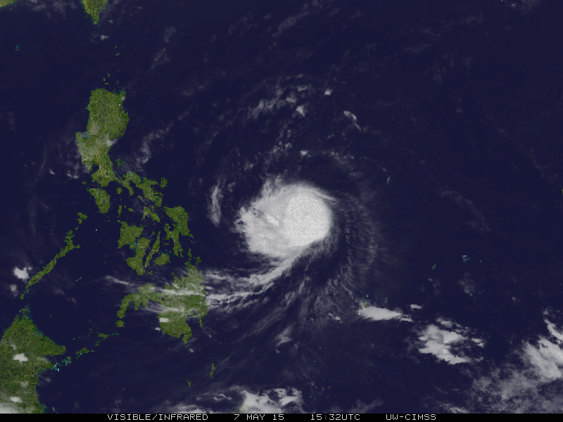
MANILA, Philippines – Typhoon Dodong (international name: Noul) has maintained its strength and direction late Friday morning, May 8, said state weather bureau PAGASA.
As of 10 am Friday, the typhoon was located at 480 km east northeast of Borongan, Eastern Samar. It packs maximum sustained winds of 150 km/h near the center and gustiness of up to 185 km/h.
The typhoon is still moving west northwest in direction at 17 km/h.
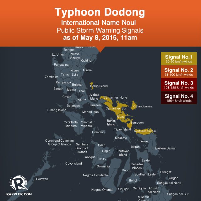
Public storm warning signal number 1 is still raised over Catanduanes, Camarines Norte, Camarines Sur, Albay, Sorsogon, Polillo Island, and Northern Samar.
The same storm signal is expected to be raised over Isabela, Quirino, Aurora, Rizal, Quezon, and Nueva Ecija by 5 pm Friday.
PAGASA earlier said there is a possibility for Dodong to develop into a super typhoon because of its pattern of intensifying. It was earlier forecasted that Dodong will hit land in the Isabela-Cagayan area on Sunday, May 10.
But independent weather monitoring group Weather Philippines said in its 6:30 am Friday bulletin that the typhoon will potentially make landfall “along the shores of Eastern Isabela” Sunday afternoon.
The group’s Advance Intensity Forecast also showed that by Sunday early morning, Dodong’s 10-minute maximum sustained winds could increase up to 200 km/h.
The Japan Meteorological Agency classifies Dodong as a “strong” typhoon.
The next bulletin on Dodong will be issued at 5 pm Friday. – Rappler.com
Add a comment
How does this make you feel?
There are no comments yet. Add your comment to start the conversation.