SUMMARY
This is AI generated summarization, which may have errors. For context, always refer to the full article.
MANILA, Philippines – Tropical Storm Mario (Fung-Wong) maintained its strength as it moves toward Northern Luzon, state weather bureau PAGASA said.
As of 4 pm Thursday, September 18, the center of Mario was located at 576 km east of Infanta, Quezon.
PAGASA has raised public storm warning signal number 2 in the following areas:
Cagayan, including Calayan and Babuyan Group of Islands, and Northern Isabela. These areas will experience stormy weather with rough to very rough seas.
Meanwhile, public storm warning signal number 1 is raised over Catanduanes, rest of Isabela, Northern Aurora, Quirino, Nueva Vizcaya, Ifugao, Mt. Province, Apayao, Kalinga, Abra, Ilocos Norte, and Batanes Group of Islands. These areas will have rain with gusty winds, and moderate to rough seas.
The combined effect of Mario and the Southwest Monsoon will bring moderate to heavy rain and thunderstorms in the regions of Bicol, Eastern Visayas, and Central Visayas which may trigger flashfloods and landslides.
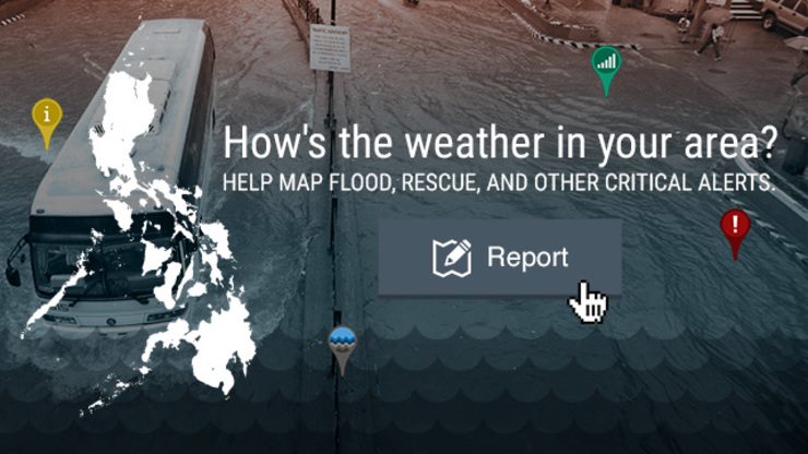
Agos Disaster Alert Map
During this extreme weather event, access to timely information is critical to saving lives.
You can help report critical information such as flooded areas, damaged roads, or people in need of rescue by reporting your location and the situation on the Project Agos Disaster Alert Map. [Click the image below to see the Agos Disaster Alert Map]

To report a flood or any critical information:
- Click on the report button at the top right corner of the map.
- Provide your name, the location of the report and other important details.
- You can also share your report via social media.
The crowdsourced data can be used by disaster management agencies to mobilize response teams to the area.
What’s the weather like in your area? Tweet us the situation: Use #weatheralert and tag @rapplerdotcom.
Stay alert and ready with the latest weather and disaster information through Project Agos.
Add a comment
How does this make you feel?
There are no comments yet. Add your comment to start the conversation.