SUMMARY
This is AI generated summarization, which may have errors. For context, always refer to the full article.
What’s the weather like in your area? Report the situation through Rappler’s Agos or tweet us at @rapplerdotcom.
MANILA, Philippines – The southwest monsoon or hanging habagat will continue to affect the western part of Luzon on Friday, August 17.
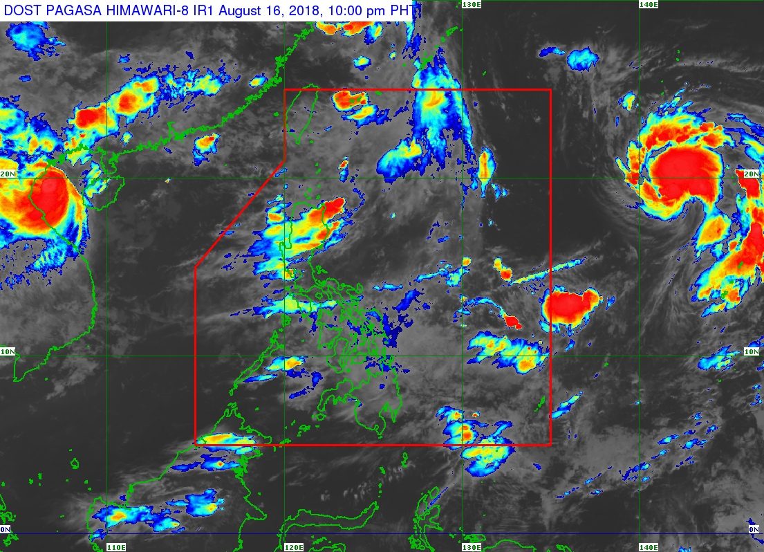
In a bulletin issued 4 pm on Thursday, August 16, the Philippine Atmospheric, Geophysical, and Astronomical Services Administration (PAGASA) said scattered rainshowers and thunderstorms are expected in the Ilocos Region, the Cordillera Administrative Region, Batanes, and the Babuyan Group of Islands.
The rest of the country will have generally good weather, with only isolated rainshowers or thunderstorms. (READ: FAST FACTS: Tropical cyclones, rainfall advisories)
But some areas again suspended classes for Friday, as they were hit hard by massive floods caused by the southwest monsoon last week. There were 1.4 million people affected in the Ilocos Region, Central Luzon, Cordillera Administrative Region, Calabarzon, and Metro Manila. (READ: #WalangPasok: Class suspensions, Friday, August 17)
Meanwhile, the low pressure area (LPA) that PAGASA was earlier monitoring outside the Philippine Area of Responsibility (PAR) is now a tropical storm. It’s been given the international name Soulik.
Tropical Storm Soulik is located 2,175 kilometers east of Northern Luzon, moving north northwest at a fast 40 kilometers per hour (km/h). It has maximum winds of 75 km/h and gustiness of up to 90 km/h.
Due to its direction, Soulik is not expected to enter PAR. It has no direct effect on any part of the country, too.
According to PAGASA Weather Specialist Ariel Rojas, an LPA also formed from Soulik’s trough or extension. This LPA is also outside PAR, located 1,090 kilometers east of the Visayas. It’s unlikely to develop into a tropical depression.
Meanwhile, Tropical Storm Rumbia, also outside PAR, continues to move away. It is already 1,100 kilometers north northeast of extreme Northern Luzon and does not have any effect on the country as well.
A gale warning was also issued at 5 pm for Batanes, the Calayan Group of Islands, the Babuyan Group of Islands, Ilocos Norte, Ilocos Sur, La Union, and Pangasinan.
Seas off those areas are moderate to rough, with wave heights reaching 2.5 meters to 4 meters. PAGASA advised fishermen and others with small vessels to be on alert.
So far, the Philippines has had 11 tropical cyclones in 2018. The country usually gets an average of 20 tropical cyclones per year. (READ: LIST: PAGASA’s names for tropical cyclones in 2018)
PAGASA declared the start of the rainy season last June 8. – Rappler.com
Add a comment
How does this make you feel?
There are no comments yet. Add your comment to start the conversation.