SUMMARY
This is AI generated summarization, which may have errors. For context, always refer to the full article.
What’s the weather like in your area? Report the situation through Rappler’s Agos or tweet us at @rapplerdotcom.
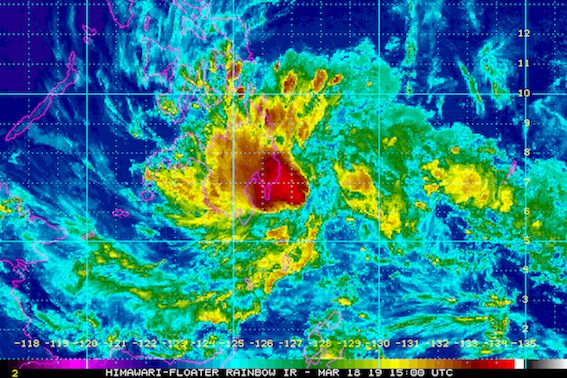
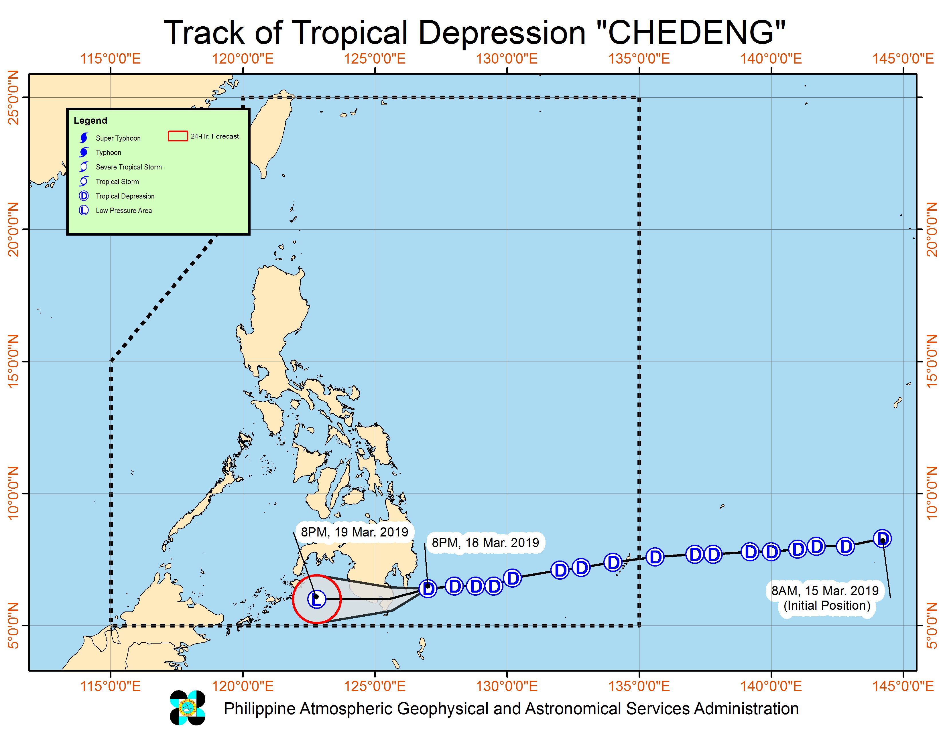
MANILA, Philippines – Tropical Depression Chedeng changed its course and began moving toward Davao Occidental late Monday evening, March 18.
In a bulletin issued 11 pm on Monday, the Philippine Atmospheric, Geophysical, and Astronomical Services Administration (PAGASA) said Chedeng is now 180 kilometers east of General Santos City. It is moving west at a faster 25 kilometers per hour (km/h) from the previous 15 km/h.
The tropical depression continues to have maximum winds of 45 km/h and gustiness of up to 60 km/h.
Signal No. 1 remains raised in these areas in Mindanao:
- Davao Oriental
- Compostela Valley
- Davao del Sur
- Davao City
- General Santos City
- Davao Occidental
- southern part of Davao del Norte including Samal Island
- eastern part of North Cotabato
- eastern part of South Cotabato
- eastern part of Sarangani
- eastern part of Sultan Kudarat
Chedeng might make landfall in the eastern coast of Davao Occidental between 2 am and 6 am on Tuesday, March 19. It is expected to weaken into a low pressure area (LPA) after landfall.
But PAGASA warned that even if Chedeng becomes an LPA, moderate to heavy rain may still hit most parts of Mindanao on Tuesday. In particular, portions of the Davao Region, Soccsksargen, Bangsamoro Autonomous Region in Muslim Mindanao, and Zamboanga Peninsula could be affected.
Residents should stay on alert for possible flash floods and landslides, especially if they live in low-lying areas or in mountainous regions.
PAGASA also warned those with small vessels not to set sail in the eastern seaboards of the Visayas and Mindanao, as well as in areas under Signal No. 1. (READ: FAST FACTS: Tropical cyclones, rainfall advisories)
Before Chedeng, the Philippines had Tropical Depression Amang in January and Tropical Depression Betty in February. (READ: LIST: PAGASA’s names for tropical cyclones in 2019)
The country gets an average of 20 tropical cyclones per year, but PAGASA expects only 14 to 18 in 2019. The number is likely to be below average as a “full-blown” El Niño looms.
Below is the estimated number of tropical cyclones from March to August:
- March – 0 or 1
- April – 0 or 1
- May – 1 or 2
- June – 1 or 2
- July – 2 or 3
- August – 2 or 3
Meanwhile, other parts of the country – not affected by Chedeng – will only have isolated rainshowers on Tuesday. – Rappler.com
Add a comment
How does this make you feel?
There are no comments yet. Add your comment to start the conversation.