SUMMARY
This is AI generated summarization, which may have errors. For context, always refer to the full article.
What’s the weather like in your area? Tweet us at @rapplerdotcom.
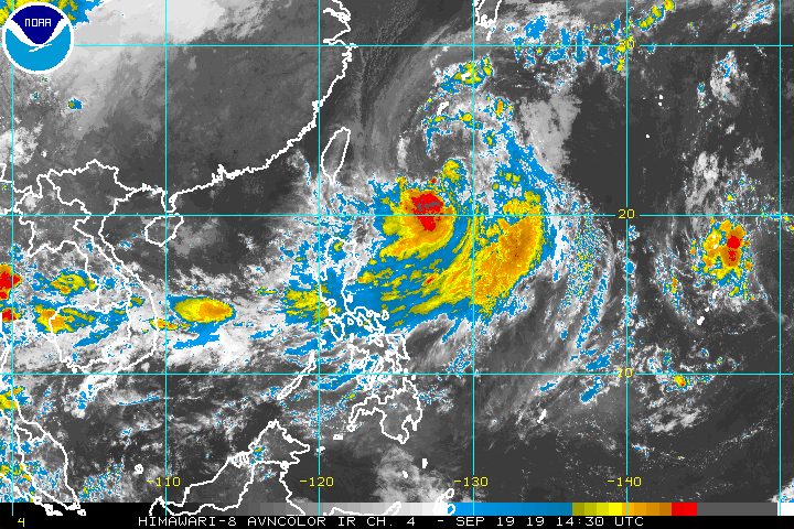
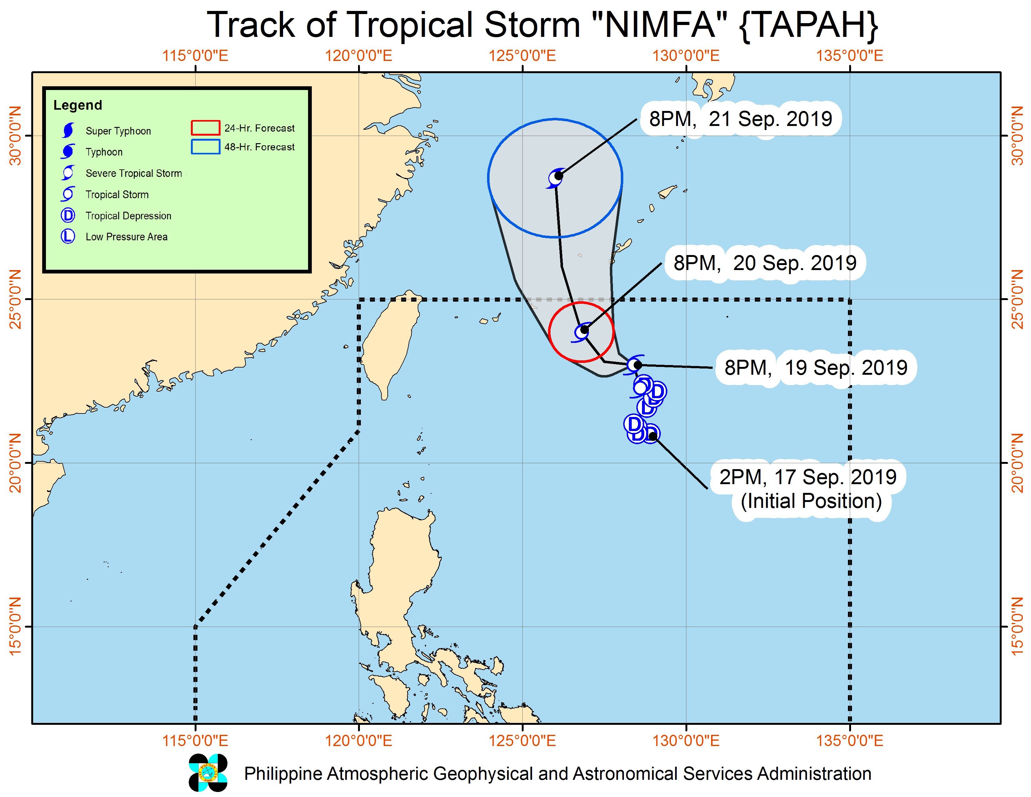
MANILA, Philippines – Tropical Storm Nimfa (Tapah) accelerated on Thursday evening, September 19, as its trough or extension along with the southwest monsoon or hanging habagat brought more rain.
In a bulletin issued 11 pm on Thursday, the Philippine Atmospheric, Geophysical, and Astronomical Services Administration (PAGASA) said Nimfa is 715 kilometers east northeast of Basco, Batanes.
The tropical storm is now moving north northwest at 15 kilometers per hour (km/h), after being almost stationary or hardly moving earlier on Thursday.
It still has maximum winds of 65 km/h and gustiness of up to 80 km/h.
Nimfa is not expected to make landfall in the country, and there are no areas under tropical cyclone wind signals.
But PAGASA Senior Weather Specialist Chris Perez said rain from Nimfa’s trough and the southwest monsoon will persist. Here’s the latest on the expected rainfall:
Thursday evening, September 19, to Friday evening, September 20
- Frequent light to moderate rain with occasional heavy rain
- Metro Manila
- Central Luzon
- Calabarzon
- Occasional light to moderate rain with intermittent heavy rain
- Bicol
- Pangasinan
- Occidental Mindoro
- Oriental Mindoro
- Romblon
- Marinduque
- Calamian Islands
- Scattered rain and isolated thunderstorms
- rest of Luzon
Flash floods and landslides remain possible in areas affected by Nimfa’s trough and the southwest monsoon. (READ: FAST FACTS: Tropical cyclones, rainfall advisories)
Classes have been suspended in some areas for Friday, September 20. (READ: #WalangPasok: Class suspensions, Friday, September 20, 2019)
Travel also remains risky in the seaboards of Northern Luzon and Central Luzon as well as the eastern seaboard of Southern Luzon due to rough to very rough sea conditions. The other seaboards of the country will remain moderate to rough, said PAGASA.
Based on Nimfa’s latest forecast track, it will leave the Philippine Area of Responsibility on Saturday morning, September 21.
Nimfa is the Philippines’ 14th tropical cyclone for 2019, and the 4th in September. (READ: LIST: PAGASA’s names for tropical cyclones in 2019)
The country gets an average of 20 tropical cyclones annually, but since 2019 is an El Niño year, only 14 to 18 tropical cyclones are expected.
Below is the estimated number of tropical cyclones from September to December:
- September – 2 to 4
- October – 2 or 3
- November – 1 or 2
- December – 0 or 1
PAGASA declared the start of the rainy season last June 14. – Rappler.com
Add a comment
How does this make you feel?
There are no comments yet. Add your comment to start the conversation.