SUMMARY
This is AI generated summarization, which may have errors. For context, always refer to the full article.
What’s the weather like in your area? Report the situation through Rappler’s Agos or tweet us at @rapplerdotcom.
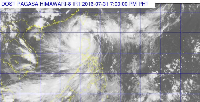
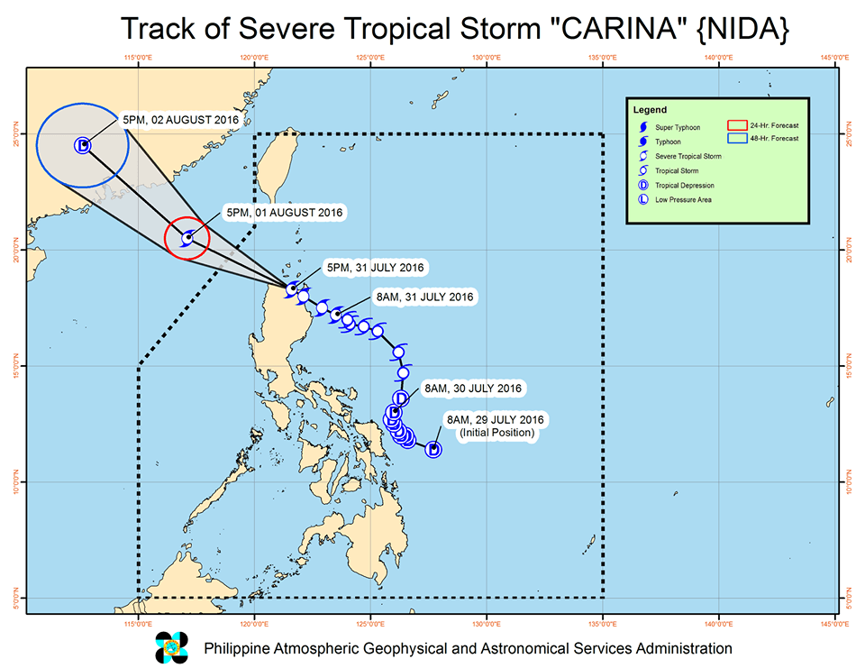
MANILA, Philippines – Severe Tropical Storm Carina (Nida) maintained its strength as it continued crossing northern Cagayan early Sunday evening, July 31, after making landfall in the afternoon.
In its bulletin issued 8 pm on Sunday, state weather bureau PAGASA said Carina was 20 kilometers north of Aparri, Cagayan, still moving northwest at 20 kilometers per hour (km/h).
It will exit landmass via northwestern Cagayan late in the evening.
Carina still has maximum winds of up to 95 km/h and gustiness of up to 120 km/h. Moderate to heavy rains are expected within its 500-km diameter.
Signal number 2 is up over the following provinces:
- Ilocos Norte
- Ilocos Sur
- Cagayan including Babuyan Group of Islands
- Apayao
- Kalinga
- Abra
Signal number 1, meanwhile, is raised over these provinces:
- La Union
- Pangasinan
- Benguet
- Ifugao
- Mt. Province
- Nueva Vizcaya
- Isabela
Areas under storm warning signals should be on alert for possible floods and landslides.

PAGASA warned that there could also be rains in Calabarzon, Mimaropa, and the rest of Central Luzon.
Meanwhile, coastal waters in Luzon are rough to very rough.
Carina is expected to leave the Philippine Area of Responsibility (PAR) on Monday morning, August 1.
– Rappler.com
Add a comment
How does this make you feel?
There are no comments yet. Add your comment to start the conversation.