SUMMARY
This is AI generated summarization, which may have errors. For context, always refer to the full article.
What’s the weather like in your area? Report the situation through Rappler’s Agos or tweet us at @rapplerdotcom.
MANILA, Philippines – Tropical Storm Enteng (Namtheun) is set to leave the Philippine Area of Responsibility (PAR) in a matter of hours.
As of 4 pm on Thursday, September 1, Enteng was 880 kilometers northeast of Itbayat, Batanes, still moving northeast at 19 kilometers per hour (km/h).
It strengthened and now has maximum winds of up to 80 km/h and gustiness of up to 95 km/h.
Since the tropical storm is too far from land, there are no areas under tropical cyclone warning signals.
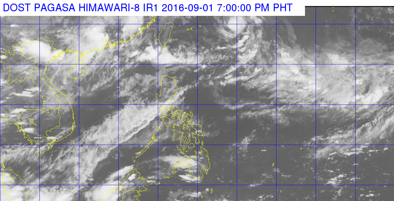
While Enteng will not make landfall, it did enhance the southwest monsoon, which brought moderate to heavy rain to Pangasinan, La Union, and Benguet on Thursday.
As for Friday, September 2, the southwest monsoon will affect the western part of Northern Luzon.
Light to moderate rain and thunderstorms are expected in the Ilocos and Cordillera regions, as well as the provinces of Cagayan and Batanes, including the Babuyan Islands.
The rest of the country, including Metro Manila, will have just isolated rainshowers or thunderstorms.
PAGASA also said coastal waters in Luzon will be moderate to rough, with moderate to strong winds. – Rappler.com
Add a comment
How does this make you feel?
There are no comments yet. Add your comment to start the conversation.