SUMMARY
This is AI generated summarization, which may have errors. For context, always refer to the full article.
What’s the weather like in your area? Report the situation through Rappler’s Agos or tweet us at @rapplerdotcom.
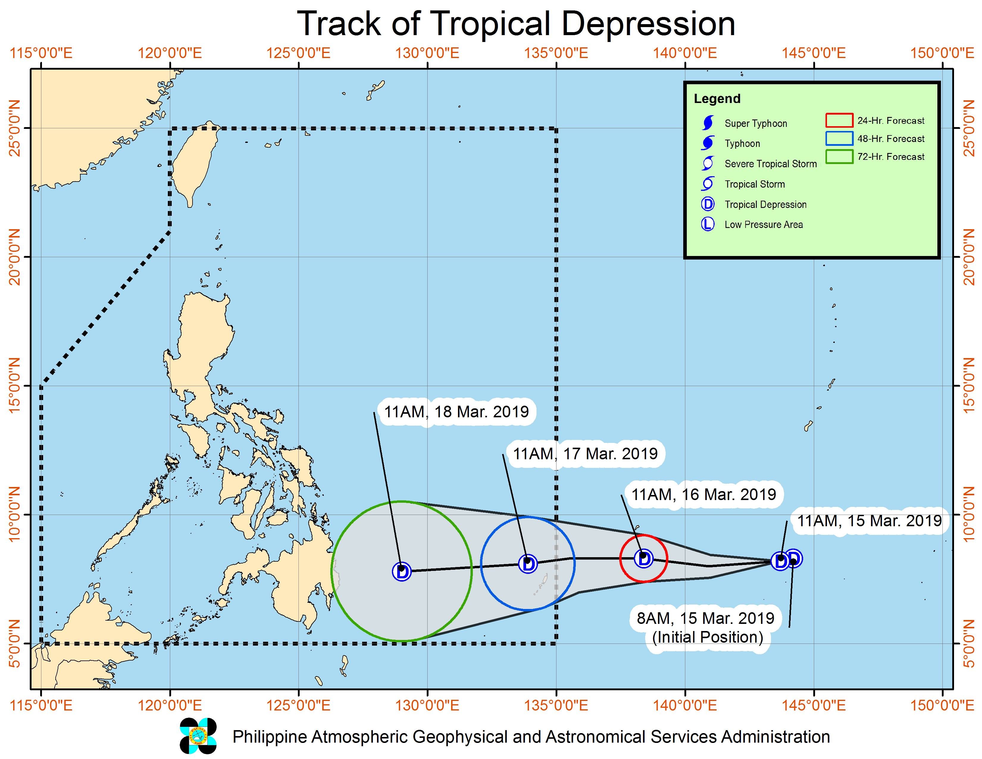
MANILA, Philippines – A tropical depression is expected to enter the Philippine Area of Responsibility (PAR) either on Saturday evening, March 16, or on Sunday morning, March 17.
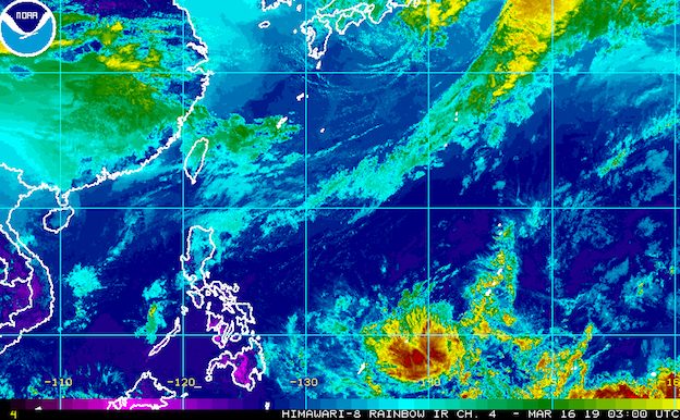
In a bulletin released past 11 am on Saturday, the Philippine Atmospheric, Geophysical, and Astronomical Services Administration (PAGASA) said the tropical depression is 1,505 kilometers east of Mindanao. It is moving west at 20 kilometers per hour (km/h).
The tropical depression has maximum winds of 45 km/h and gustiness of up to 60 km/h.
Once the tropical depression enters PAR, it will be named Chedeng. (READ: LIST: PAGASA’s names for tropical cyclones in 2019)
PAGASA warned that parts of Mindanao may have scattered to widespread heavy rain on Monday, March 18, and Tuesday, March 19, due to the tropical depression.
The tropical depression might make landfall in the eastern coast of Davao Oriental between Monday evening and Tuesday morning.
“However, there remains a possibility that this tropical depression will weaken into a low pressure area before coming onshore,” added PAGASA.
Residents of Mindanao, especially those in areas prone to floods or landslides, should continue monitoring updates. (READ: FAST FACTS: Tropical cyclones, rainfall advisories)
The potential Chedeng would be the Philippines’ third tropical cyclone for 2019, after Tropical Depression Amang in January and Tropical Depression Betty in February.
The country gets an average of 20 tropical cyclones per year, but PAGASA expects only 14 to 18 in 2019. The number is likely to be below average as the state weather bureau is already in the El Niño Advisory stage, the last stage before declaring El Niño. (READ: PAGASA warns of ‘full-blown’ El Niño in 2019)
Below is the estimated number of tropical cyclones from March to August:
- March – 0 or 1
- April – 0 or 1
- May – 1 or 2
- June – 1 or 2
- July – 2 or 3
- August – 2 or 3
Meanwhile, the tail-end of a cold front is affecting Northern Luzon on Saturday.
There will be scattered rainshowers in the Cordillera Administrative Region, parts of Cagayan Valley, Aurora, and Quezon. Flash floods and landslides are possible during severe thunderstorms.
As for other parts of the country like Metro Manila, there will only be isolated rainshowers. The capital region continues to deal with a water shortage, which authorities said would ease once heavy rain falls. – Rappler.com
Add a comment
How does this make you feel?
There are no comments yet. Add your comment to start the conversation.