SUMMARY
This is AI generated summarization, which may have errors. For context, always refer to the full article.
What’s the weather like in your area? Report the situation through Rappler’s Agos or tweet us at @rapplerdotcom.
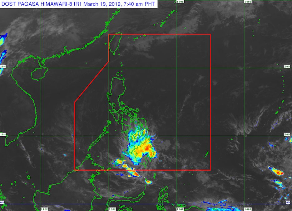
MANILA, Philippines – Tropical Depression Chedeng made landfall in Malita, Davao Occidental, at 5:30 am on Tuesday, March 19, then weakened into a low pressure area (LPA).
In a bulletin issued 8 am on Tuesday, the Philippine Atmospheric, Geophysical, and Astronomical Services Administration (PAGASA) said the LPA which used to be Chedeng is now in the vicinity of Malungon, Sarangani.
PAGASA warned that even if there are no more areas under Signal No. 1, the LPA will still trigger moderate to heavy rain in Surigao del Sur, Agusan del Sur, the Davao Region, and Soccsksargen, as well as portions of Northern Mindanao, the Bangsamoro Autonomous Region in Muslim Mindanao, and the Zamboanga Peninsula.
Residents should stay on alert for possible flash floods and landslides, especially if they live in low-lying areas or in mountainous regions.
Travel remains risky in the eastern seaboards of the Visayas and Mindanao, particularly for small vessels. (READ: FAST FACTS: Tropical cyclones, rainfall advisories)
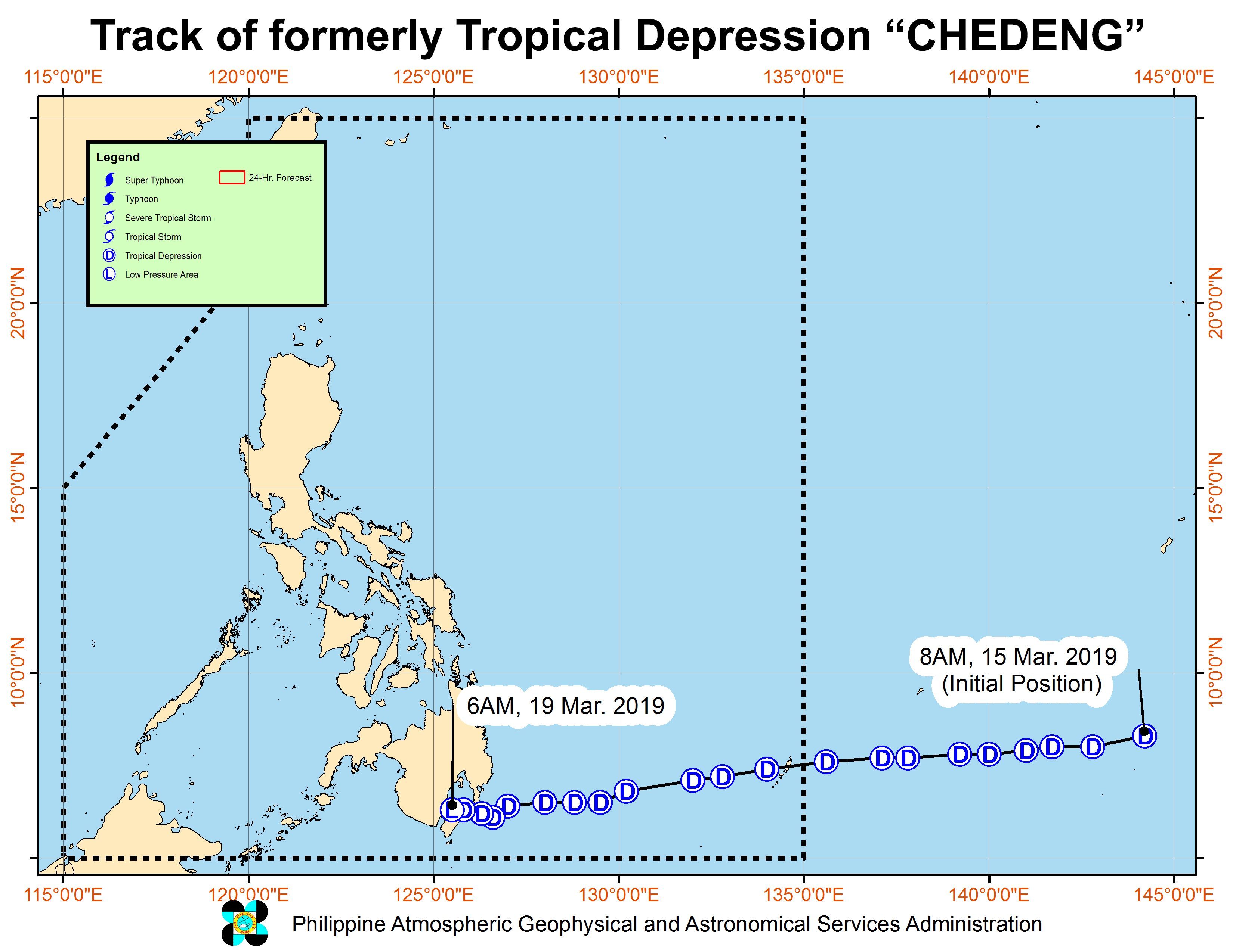
Chedeng was the Philippines’ third tropical cyclone for 2019, after Tropical Depression Amang in January and Tropical Depression Betty in February. (READ: LIST: PAGASA’s names for tropical cyclones in 2019)
The country gets an average of 20 tropical cyclones per year, but PAGASA expects only 14 to 18 in 2019. The number is likely to be below average as a “full-blown” El Niño looms.
Below is the estimated number of tropical cyclones from March to August:
- March – 0 or 1
- April – 0 or 1
- May – 1 or 2
- June – 1 or 2
- July – 2 or 3
- August – 2 or 3
– Rappler.com
Add a comment
How does this make you feel?
There are no comments yet. Add your comment to start the conversation.