SUMMARY
This is AI generated summarization, which may have errors. For context, always refer to the full article.
What’s the weather like in your area? Report the situation through Rappler’s Agos or tweet us at @rapplerdotcom.
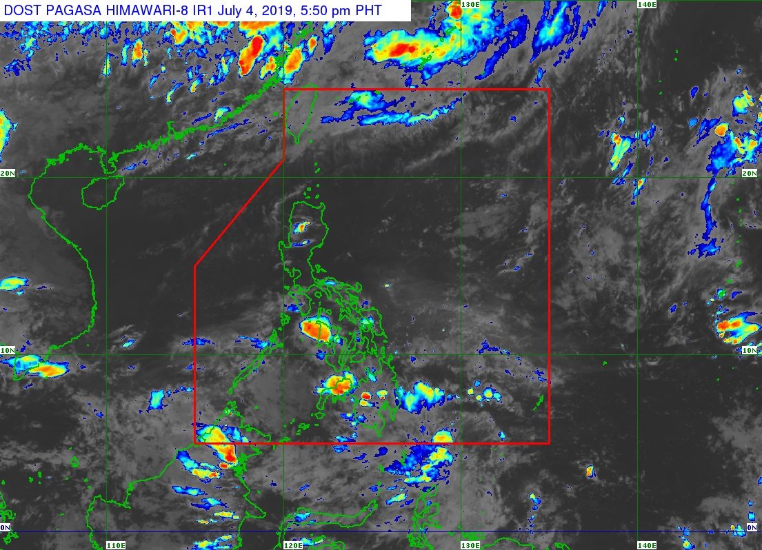
MANILA, Philippines – The trough or extension of a low pressure area (LPA) will still trigger rain in Mindanao, but this weather system may dissipate in the next few hours.
In a bulletin issued 4 pm on Thursday, July 4, the Philippine Atmospheric, Geophysical, and Astronomical Services Administration (PAGASA) said the LPA is already 395 kilometers east of General Santos City.
The trough of the LPA is bringing scattered rainshowers and thunderstorms to Mindanao. Flash floods and landslides are possible if the thunderstorms become severe.
But aside from the LPA, PAGASA Weather Specialist Raymond Ordinario said there are no other weather systems or potential tropical cyclones seen to affect the Philippines in the next 3 to 5 days. (READ: FAST FACTS: Tropical cyclones, rainfall advisories)
The southwest monsoon or hanging habagat is also weak temporarily, so the country is experiencing a monsoon break. A monsoon break lasts a few days up to two weeks.
“Walang malalakas na pag-ulan ang nakikita natin o inaasahan natin sa mga susunod na araw (We’re not seeing or expecting heavy rain in the next few days),” Ordinario said.
So far, the Philippines has had 5 tropical cyclones in 2019, all classified as tropical depressions. (READ: LIST: PAGASA’s names for tropical cyclones in 2019)
The Philippines gets an average of 20 tropical cyclones annually, but since 2019 is an El Niño year, only 14 to 18 tropical cyclones are expected.
Below is the estimated number of tropical cyclones from July to December:
- July – 2 or 3
- August – 2 to 4
- September – 2 to 4
- October – 2 or 3
- November – 1 or 2
- December – 0 or 1
PAGASA declared the start of the rainy season last June 14. – Rappler.com
Add a comment
How does this make you feel?
There are no comments yet. Add your comment to start the conversation.