SUMMARY
This is AI generated summarization, which may have errors. For context, always refer to the full article.
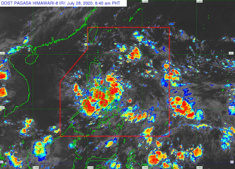
A low pressure area (LPA) off Catanduanes will bring rain to parts of the Philippines on Tuesday, July 28, warned the state weather bureau.
This LPA had formed inside the Philippine Area of Responsibility (PAR) on Monday, July 27.
In a bulletin issued 4 am on Tuesday, the Philippine Atmospheric, Geophysical, and Astronomical Services Administration (PAGASA) said the LPA was already 310 kilometers east of Virac, Catanduanes.
The following areas are seen to be affected by the LPA:
Scattered to widespread rain and thunderstorms
- Bicol
- Eastern Visayas
Scattered rain and thunderstorms
- Metro Manila
- Calabarzon
- Mimaropa
- rest of Visayas
- Zamboanga Peninsula
Flash floods and landslides are possible.
The rest of the country will only have isolated rain showers or localized thunderstorms, not linked to the LPA.
PAGASA Weather Specialist Samuel Duran said in an online briefing early Tuesday that the LPA only has a slim chance of developing into a tropical depression.
So far, the Philippines has had 3 tropical cyclones in 2020: Typhoon Ambo (Vongfong) in May, Tropical Storm Butchoy (Nuri) in June, and Tropical Depression Carina in July.
An average of 20 tropical cyclones form within or enter PAR each year. Only around half of these make landfall. (READ: LIST: PAGASA’s names for tropical cyclones in 2020)
In PAGASA’s climate outlook, it gave the following estimates for the number of tropical cyclones inside PAR in the next 6 months:
- July – 2 to 4
- August – 2 or 3
- September – 2 or 3
- October – 2 or 3
- November – 1 or 2
- December – 1 or 2
PAGASA declared the start of the rainy season on June 12. – Rappler.com
Add a comment
How does this make you feel?
There are no comments yet. Add your comment to start the conversation.