SUMMARY
This is AI generated summarization, which may have errors. For context, always refer to the full article.
Another low pressure area (LPA) will affect Southern Luzon and the Visayas on Sunday, October 24.
An earlier LPA which was located initially off Mindanao and then off the Visayas already dissipated on Saturday, October 23.
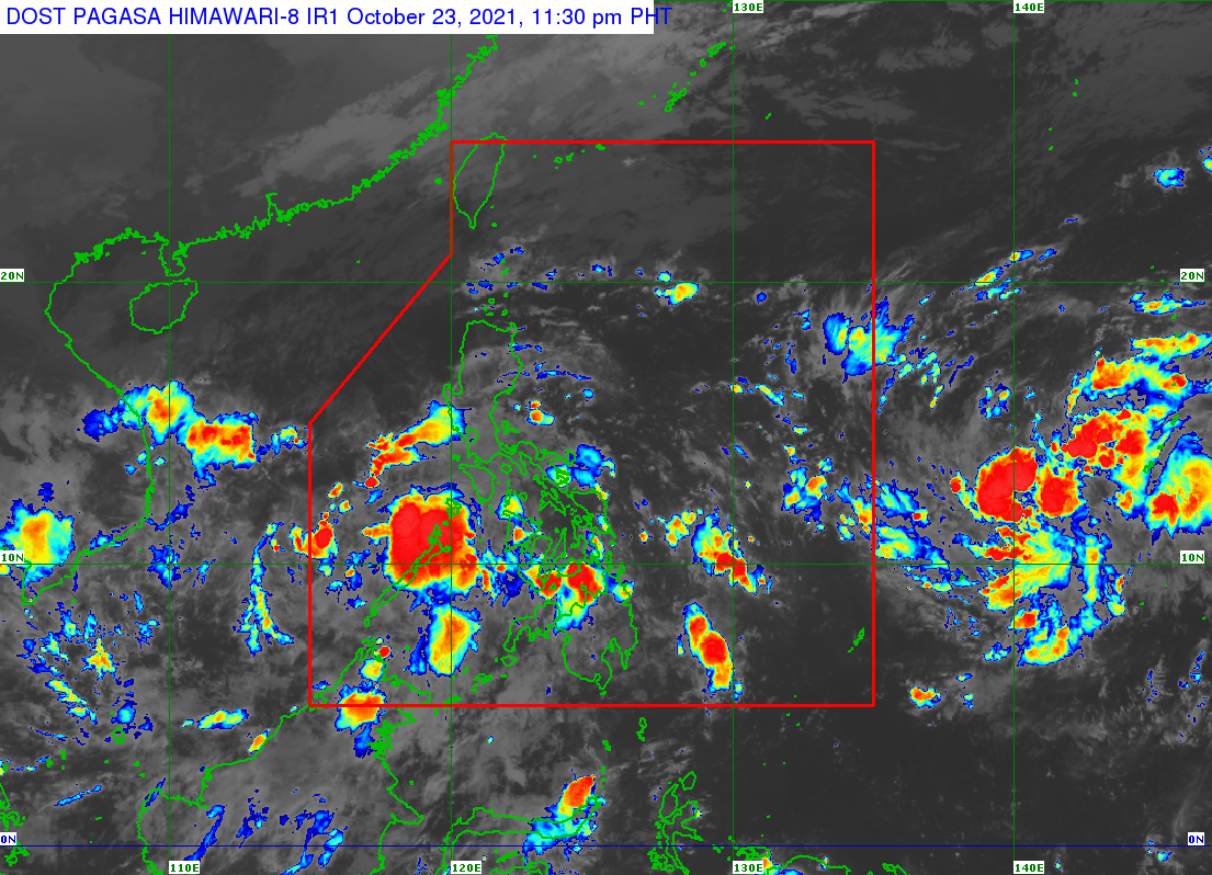
The Philippine Atmospheric, Geophysical, and Astronomical Services Administration (PAGASA) said in an advisory at 11 pm on Saturday that the newer LPA was located 220 kilometers east of Puerto Princesa City, Palawan.
For Sunday, PAGASA warned of rain in these areas:
Moderate to heavy rain
- Mimaropa
- Western Visayas
Light to moderate rain, with at times heavy rain
- Calabarzon
- Bicol
- rest of Visayas
The weather bureau said isolated to scattered floods and landslides are possible. (READ: FAST FACTS: Tropical cyclones, rainfall advisories)
The LPA could develop into a tropical depression within 48 hours as it heads northwest. It may already be outside the Philippine Area of Responsibility (PAR) by then, according to PAGASA Weather Specialist Joey Figuracion.
But if the LPA becomes a tropical depression inside PAR, it would be given the local name Odette. (READ: LIST: PAGASA’s names for tropical cyclones in 2021)
So far, the Philippines has had 14 tropical cyclones in 2021. The yearly average is 20.
PAGASA declared the start of La Niña in mid-October, which means more rain is expected in the coming months. La Niña is seen to last until the first quarter of 2022. – Rappler.com
Add a comment
How does this make you feel?
There are no comments yet. Add your comment to start the conversation.