SUMMARY
This is AI generated summarization, which may have errors. For context, always refer to the full article.
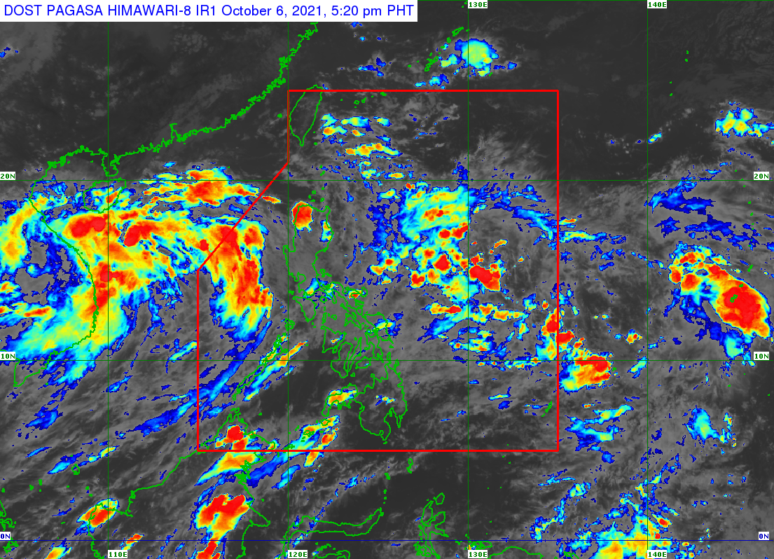
The low pressure area (LPA) located outside the Philippine Area of Responsibility (PAR) may enter either Wednesday evening, October 6, or early Thursday morning, October 7.
As of Wednesday afternoon, the LPA was located 1,310 kilometers east of Southern Luzon.
The Philippine Atmospheric, Geophysical, and Astronomical Services Administration (PAGASA) said the LPA is seen to generally move west northwest toward Northern Luzon.
But the weather disturbance’s track is highly uncertain, for now, since it is still too far from the country.
PAGASA said the LPA could develop into a tropical depression on Friday, October 8, or Saturday, October 9.
It would be the 13th tropical cyclone in 2021 and would be given the local name Maring. (READ: LIST: PAGASA’s names for tropical cyclones in 2021)
It would also be the second tropical cyclone for October, after Tropical Depression Lannie, which left PAR at 5 am on Wednesday.
Lannie was already 710 kilometers west of Subic, Zambales, on Wednesday afternoon.
Though the tropical depression is already outside PAR, its trough or extension will continue to affect the western part of Luzon on Wednesday evening.
Scattered rain showers and thunderstorms are expected in these areas:
- Metro Manila
- Pangasinan
- Zambales
- Bataan
- Tarlac
- Pampanga
- Cavite
- Batangas
- Occidental Mindoro
- Palawan
PAGASA warned that flash floods and landslides are possible during severe thunderstorms.
The weather bureau previously said up to three tropical cyclones could form within or enter PAR in October.
The yearly average is 20. (READ: FAST FACTS: Tropical cyclones, rainfall advisories) – Rappler.com
Add a comment
How does this make you feel?
There are no comments yet. Add your comment to start the conversation.