SUMMARY
This is AI generated summarization, which may have errors. For context, always refer to the full article.

MANILA, Philippines – Philippine transit directions app Sakay.ph added a new feature to augment how users can learn how to get around.
The company said it was working with the Pasig City government to allow for GPS tracking of specific vehicles providing transport around the city.
Sakay.ph co-founder Kenneth Yu told Rappler the GPS tracking was for “40 to 50 vehicles for the Pasig project,” with the vehicles – buses and shuttles, for now – plying set routes. He hopes to add tricycles and jeepneys to the system in the future as they become available.
Yu added that with the help of the new feature, “Users can now see exactly where buses are, so they can avoid waiting in line for too long and getting exposed to possible infection.”
Aside from the project specific to Pasig City, the GPS tracking system is also available for tracking frontliner vehicles set up by the Department of Transportation and the Armed Forces of the Philippines. Yu is also reaching out to other local government units and organizations, as he said the company wants to have more groups on board the project.
Users can download the application on Sakay.ph for the iOS, Android, and Huawei mobile operating systems.
Testing the system on the web
For those who want to test it on a laptop or without downloading a new software, users can also go to https://covid19.sakay.ph/ then click on “OK, Start Searching.”
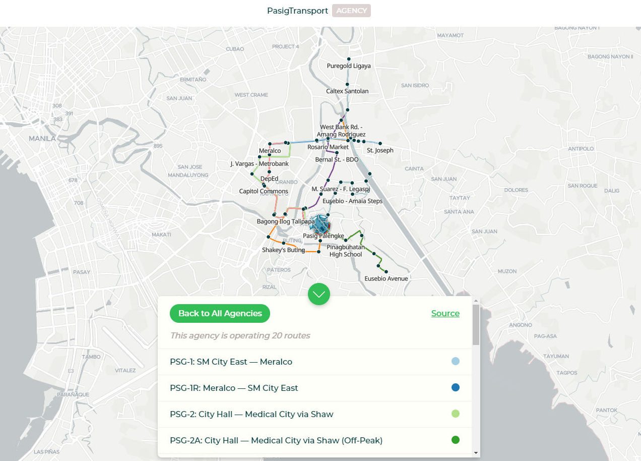
To access the Pasig trackers, users can look for the “PasigTransport” option, then choose one of the routes specific to them to track the location of available transportation so long as they are operational at that time. The GPS tracking signals do not appear to show if they’re off duty.
The information available on a given route will also say how many stops it has and the general length of time the trip will take from its starting point to its end point.
This same lookup function can also be used for the routes under the “Department of Transportation” subheading and the “AFP” subheading. – Rappler.com
Add a comment
How does this make you feel?
There are no comments yet. Add your comment to start the conversation.