SUMMARY
This is AI generated summarization, which may have errors. For context, always refer to the full article.

Drones can be scary. You’ve seen what happened in Iran. There are privacy concerns too, which has prompted some to come up with anti-drone software. Or have you not seen a season of Homeland?
But you’ve seen the good they’ve done too. They’re now used for delivering blood – and how many times has drone footage taken your breath away? Soon drones could be delivering our groceries too. (READ: Drones a game changer for emergency responders)
Now, here’s another area where they can be very good for: volcanology.
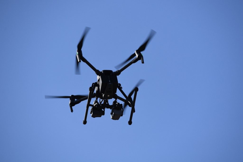
At the 2018 Kilauea eruption in Hawaii, drones were used to provide visual surveillance that helped map the lava flow, which in turn, helped emergency response teams. Equipped with a thermal camera, one drone closely monitored a major road that authorities wanted to keep open so that the evacuation wouldn’t stall.
The drone fed them the data they needed to see whether or not there was too much magma flowing underneath. Drones also allowed the ground teams to operate safely, showing where the safe routes were for entering and exiting.
In one dramatic video by the United States Geological Survey, rescuers had a man, who was in danger of being swallowed up by the incoming lava, follow a drone to safety.
Along with the visual mapping it can provide, drones become extremely valuable in monitoring gas levels once a volcano erupts. The composition of the volcanic gases can indicate an imminent explosion. For example, high carbon dioxide levels may mean that an eruption is about to happen in months, CNET reports. But if the reading shows high sulfur dioxide levels, then it’s time to pack your bags because an eruption is imminent. (FAST FACTS: What you should know about Taal Volcano)
During an eruption however, traditional instruments planted at active sites can get destroyed, leaving volcanologists with a blindspot – and it would be too dangerous for volcanologists to return to those spots and reinstall new devices.
So one team tested drones outfitted with the gas measuring instruments, reports Nova. Volcanologist John Stix and his team went to Turrialba, an active volcano in Costa Rica, in April 2017, where they were able to fly a drone into the plume, gather gas measurements…and successfully land the drone back to base. Flying a drone into an ungodly tornado of volcanic elements isn’t exactly a trip to Disneyland.
Stix and his team wrote a detailed account of their use of drones in volcano monitoring in Eos magazine, from choosing the right drone for the job, creating compact instrumentation, and what volcanic gas ratios mean.
Given the Philippines’ volcanic profile, these flying contraptions certainly could be of assistance too. – Rappler.com
Add a comment
How does this make you feel?
There are no comments yet. Add your comment to start the conversation.