SUMMARY
This is AI generated summarization, which may have errors. For context, always refer to the full article.
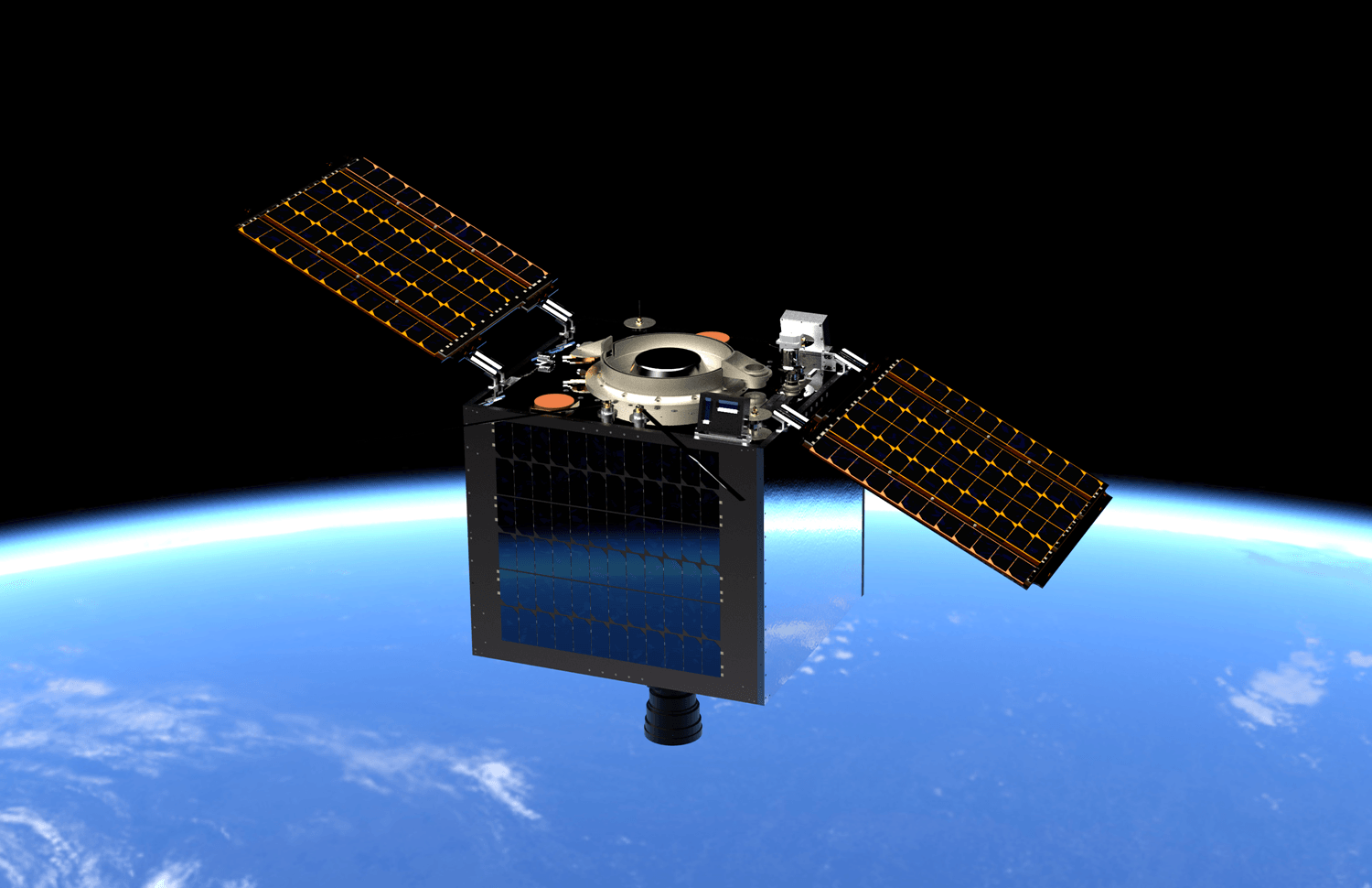
The Philippine Space Agency (PhilSA) on Wednesday, June 9, announced that plans are in motion for a “bigger Earth observation satellite” that can capture “operational-quality images of approximately 100,000 square kilometers of land area daily.”
The satellite will weigh 130 kilograms, which is bigger than the 50-kilogram DIWATA-1 and 56-kilogram DIWATA-2 microsatellites. This will make it the biggest Philippine satellite to date.
Called Multispectral Unit for Land Assessment (MULA), the satellite is being co-designed by British company Surrey Space Technology Limited (SSTL) under the Department of Science and Technology’s Advanced Satellite and Know-how Transfer for the Philippines (ASP) Project.
UP Diliman and the DOST-Advance Science and Technology Institute are heading the implementation of the project, with PhilSA overseeing its completion and active operation and management. It is expected to launch by 2023.
MULA, with SSTL’s camera, will be able to capture higher resolution images and cover larger land areas compared to ones used in the Philippine’s older satellites. These better quality images can be used in disaster management, land mapping, crop monitoring, and forestry management to name some.
“With its capability to capture higher resolution images, we will be able to better monitor terrestrial ecosystems, as well as our land and marine resources to ensure both agricultural productivity and environmental integrity. In addition, we will also be able to assess environmental conditions to be more proactive in disaster management and mitigation,” said PhilSA’s deputy director general Gay Jane Perez
The satellite will also be equipped with an Automatic Identification System and Automatic Dependent Surveillance-Broadcast, which can be used for ship and aircraft detection and tracking.
Perez also credited past satellite projects in building capacity towards a bigger satellite: “Equipped with the acquired technical know-how and capabilities through our experiences in building DIWATA and MAYA satellites, we are now moving forward with our first operational and industrial quality satellite aimed towards providing a wide range of socio-economic benefits for the country.”
About 30 Filipino engineers have remotely attended a small satellite system design course by SSTL since December 2020, with nine currently undergoing “full immersion for satellite design” in the UK. MULA has passed the SSTL’s Qualification Status Review, which the British company says is “a key design phase milestone.”
This is the second time that the DOST is working with SSTL, having worked on the NovaSAR-1 satellite project in 2019.
MULA project manager John Labrador says that MULA can be like having an astronaut in space.
“We can think of this spacecraft as a Filipino astronaut tasked to take images of our natural resources while monitoring aircraft and ship activity in our country at the same time,” he said. “We aim to significantly increase the land area captured by this satellite compared to our previous ones, effectively increasing the information gathered from the produced images. – Rappler.com
Add a comment
How does this make you feel?
There are no comments yet. Add your comment to start the conversation.