SUMMARY
This is AI generated summarization, which may have errors. For context, always refer to the full article.
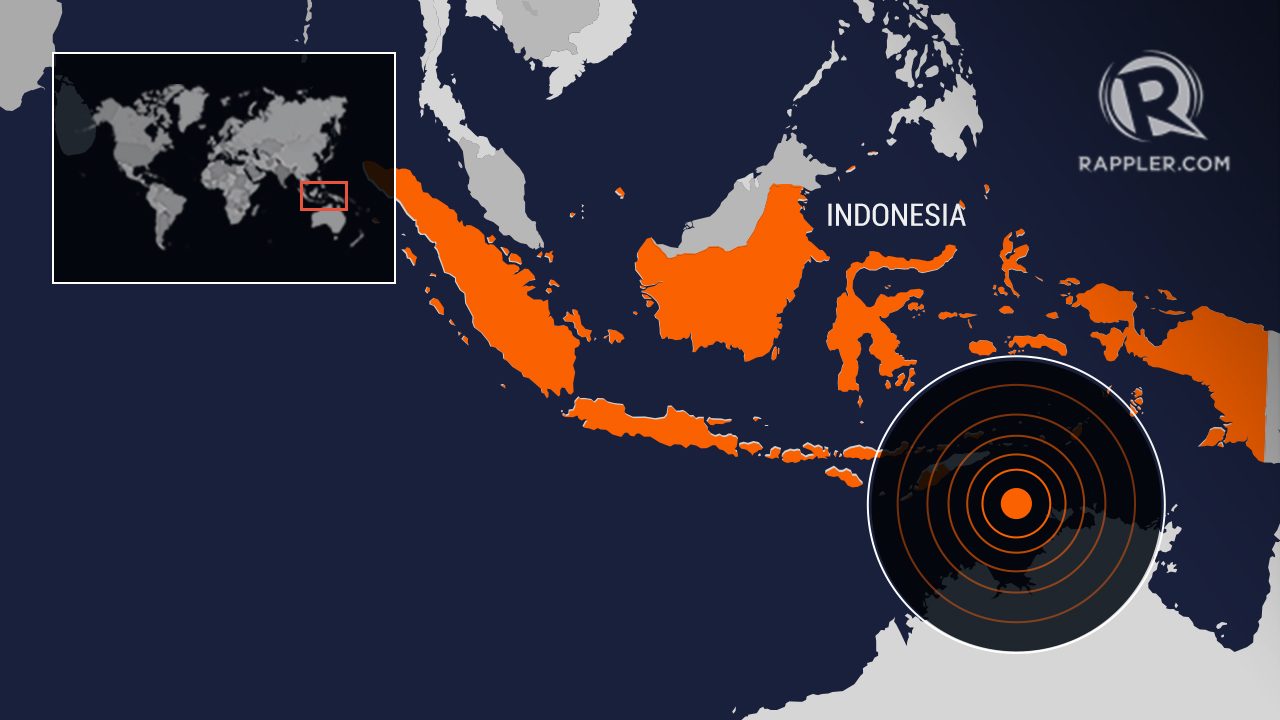
Indonesia issued a tsunami warning for almost three hours after a 7.6 earthquake struck off Indonesia’s Tanimbar islands before 3 am local time on Tuesday, January 10, but no significant changes in sea level were recorded, local media quoted an official as saying.
The powerful earthquake, locally measured as a magnitude 7.5, was at a depth of 130 km (80.78 miles), the country’s geophysics agency BMKG said.
The European Mediterranean Seismological Centre (EMSC) recorded the magnitude as 7.6, after initially reporting it as a magnitude 7.7. The US Geological Survey also pegged it as a 7.6 magnitude.
Indonesia’s disaster agency BNPB officials were checking for the extent of the quake’s impact, but early reports showed light to medium damage to buildings, its spokesperson said.
News website Liputan6.com reported houses in Saumlaki town in Yamdena island were badly damaged. – Rappler.com
Add a comment
How does this make you feel?
There are no comments yet. Add your comment to start the conversation.