SUMMARY
This is AI generated summarization, which may have errors. For context, always refer to the full article.
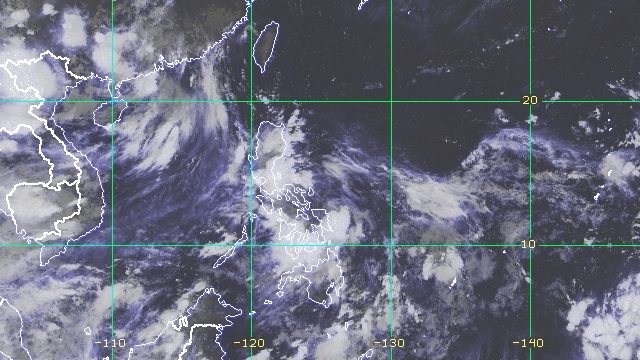
MANILA, Philippines – A low pressure area (LPA) that formed inside the Philippine Area of Responsibility (PAR) on Thursday, August 4, is bringing rain to parts of Luzon and Eastern Visayas.
The LPA was already in the vicinity of Bacacay, Albay, late Thursday evening.
The Philippine Atmospheric, Geophysical, and Astronomical Services Administration (PAGASA) said the LPA is “less likely” to develop into a tropical depression in the next 24 hours.
Rain from the LPA, however, could trigger floods and landslides.
From Thursday evening to Friday, August 5, the following areas will be affected:
Moderate to heavy rain, with at times intense rain
- Bicol
- Aurora
- Nueva Ecija
- Bulacan
- Rizal
- Laguna
- Quezon
- Marinduque
- Romblon
- Northern Samar
- Samar
- Eastern Samar
Light to moderate rain, with at times heavy rain
- Metro Manila
- rest of Central Luzon
- rest of Calabarzon
- Eastern Visayas
So far, the Philippines has seen five tropical cyclones in 2022. The most recent, Tropical Depression Ester, did not directly affect the country but enhanced the southwest monsoon or hanging habagat in late July.
PAGASA expects 9 to 13 tropical cyclones to enter or develop inside PAR from August 2022 to January 2023. Per month, these are the weather bureau’s estimates:
- August 2022 – 2 or 3
- September 2022 – 2 or 3
- October 2022 – 2 to 4
- November 2022 – 2 or 3
- December 2022 – 1 or 2
- January 2023 – 0 or 1
– Rappler.com
Add a comment
How does this make you feel?
There are no comments yet. Add your comment to start the conversation.