SUMMARY
This is AI generated summarization, which may have errors. For context, always refer to the full article.
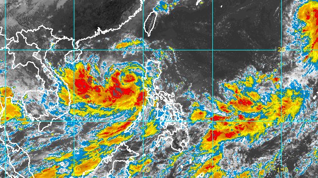
MANILA, Philippines – Typhoon Karding (Noru) weakened a bit as it continued to move away from Luzon late Monday morning, September 26.
Karding’s maximum sustained winds decreased from 140 kilometers per hour to 130 km/h, said the Philippine Atmospheric, Geophysical, and Astronomical Services Administration (PAGASA) in a briefing past 11 am on Monday. Its gustiness went down from 170 km/h to 160 km/h.
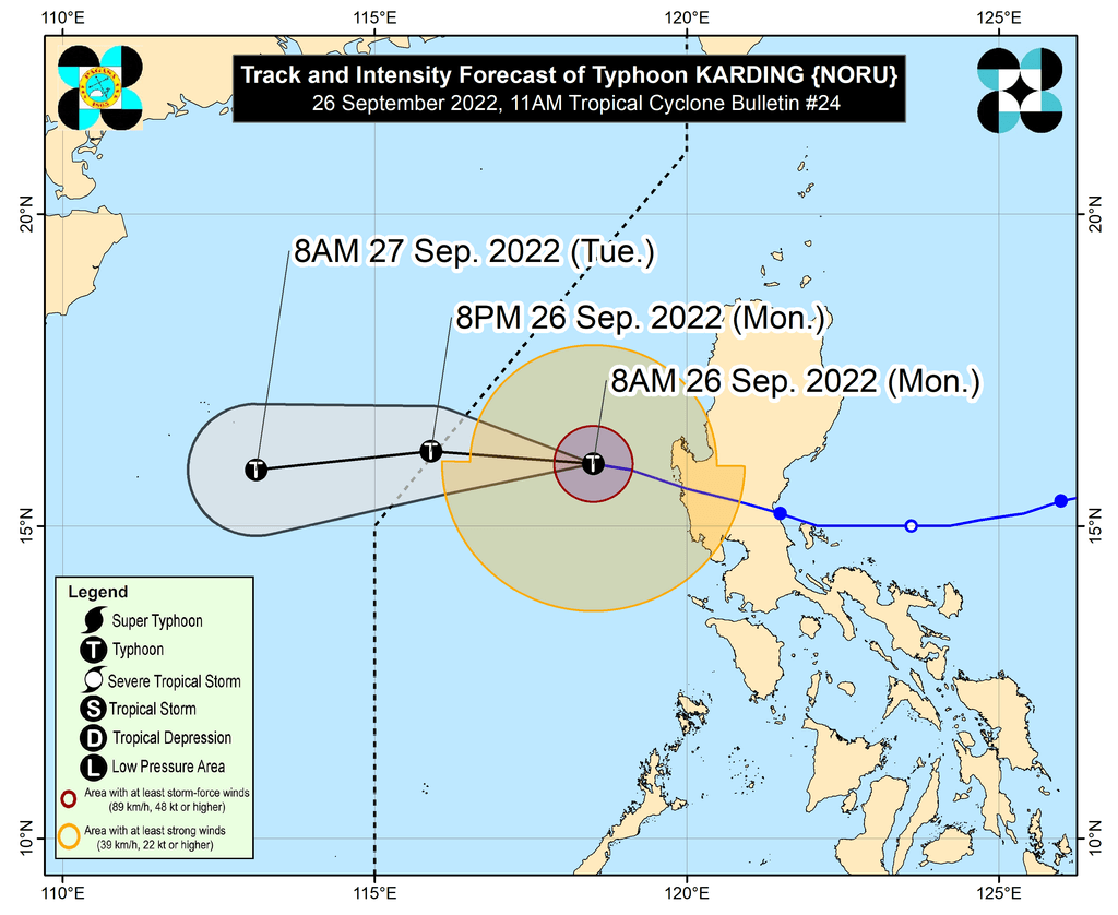
The typhoon was already 230 kilometers west of Dagupan City, Pangasinan, still moving west northwest over the West Philippine Sea at 30 km/h.
It is heading toward Vietnam and will leave the Philippine Area of Responsibility (PAR) on Monday evening.
As of 11 am, only Signal No. 1 remains in effect. The following areas may still have strong winds:
- central and western parts of Pangasinan (Santa Barbara, Bayambang, Mangaldan, Dagupan City, Calasiao, San Carlos City, Basista, Urbiztondo, Mangatarem, Aguilar, Bugallon, Binmaley, Lingayen, Labrador, Sual, Alaminos City, Bolinao, Anda, Bani, Agno, Burgos, Mabini, Dasol, Infanta, Malasiqui, Alcala, Bautista)
- Zambales
- western part of Tarlac (Camiling, San Clemente, Santa Ignacia, San Jose, Mayantoc, Capas, Bamban)
- northwestern part of Pampanga (Mabalacat City, Angeles City, Porac, Floridablanca)
At the height of Karding’s onslaught, Signal No. 5 was the highest wind signal raised.
Karding is also bringing light to moderate rain, with at times heavy rain, to these areas until Monday afternoon:
- Zambales
- Bataan
- Lubang Islands
- western part of Pangasinan
Aside from Karding, the enhanced southwest monsoon or hanging habagat will trigger rain on Monday. In a separate advisory at 11 am, PAGASA warned of rain from the southwest monsoon in mostly the same areas also still experiencing rain from Karding.
Moderate to heavy rain
- Zambales
- Bataan
- Occidental Mindoro
- Palawan
Light to moderate rain, with at times heavy rain
- Pangasinan
- Western Visayas
Meanwhile, a gale warning remains in place, covering the western seaboards of Northern Luzon and Central Luzon, particularly Ilocos Sur, La Union, Pangasinan, Zambales, and Bataan. Seas are rough to very rough, with waves 2.8 to 4.5 meters high. PAGASA advised fishing boats not to sail and larger vessels to watch out for big waves.
The enhanced southwest monsoon may also cause moderate to rough seas in the western seaboards of Southern Luzon, the Visayas, and Mindanao. Waves could be 1.5 to 3 meters high, which may be risky for small vessels.
Karding is the Philippines’ 11th tropical cyclone for 2022 and the third tropical cyclone for September. At its peak, it was a super typhoon with maximum sustained winds of 195 km/h.
Karding first made landfall as a super typhoon in Burdeos, Quezon, at 5:30 pm on Sunday, September 25, followed by another landfall as a typhoon in Dingalan, Aurora, at 8:20 pm.
It then crossed Nueva Ecija, Tarlac, and Zambales, before emerging over Zambales’ coastal waters early Monday.
PAGASA also said on Monday that it is monitoring a new tropical storm outside PAR, with the international name Kulap.
Tropical Storm Kulap was located 2,190 kilometers east northeast of extreme Northern Luzon late Monday morning, moving west northwest at 20 km/h.
It has maximum sustained winds of 65 km/h and gustiness of up to 80 km/h.
PAGASA Weather Specialist Ana Clauren-Jorda said Kulap is not expected to enter PAR.
PAGASA expects 7 to 11 tropical cyclones to enter or develop inside PAR from September 2022 to February 2023. Per month, these are the weather bureau’s estimates:
- September 2022 – 2 or 3
- October 2022 – 2 to 4
- November 2022 – 2 or 3
- December 2022 – 1 or 2
- January 2023 – 0 or 1
- February 2023 – 0 or 1
– Rappler.com
Add a comment
How does this make you feel?


There are no comments yet. Add your comment to start the conversation.