SUMMARY
This is AI generated summarization, which may have errors. For context, always refer to the full article.
GENEVA, Switzerland – Temperatures are expected to soar further across large parts of the world after the El Niño weather pattern emerged in the tropical Pacific for the first time in seven years, the World Meteorological Organization (WMO) said on Tuesday, July 4.
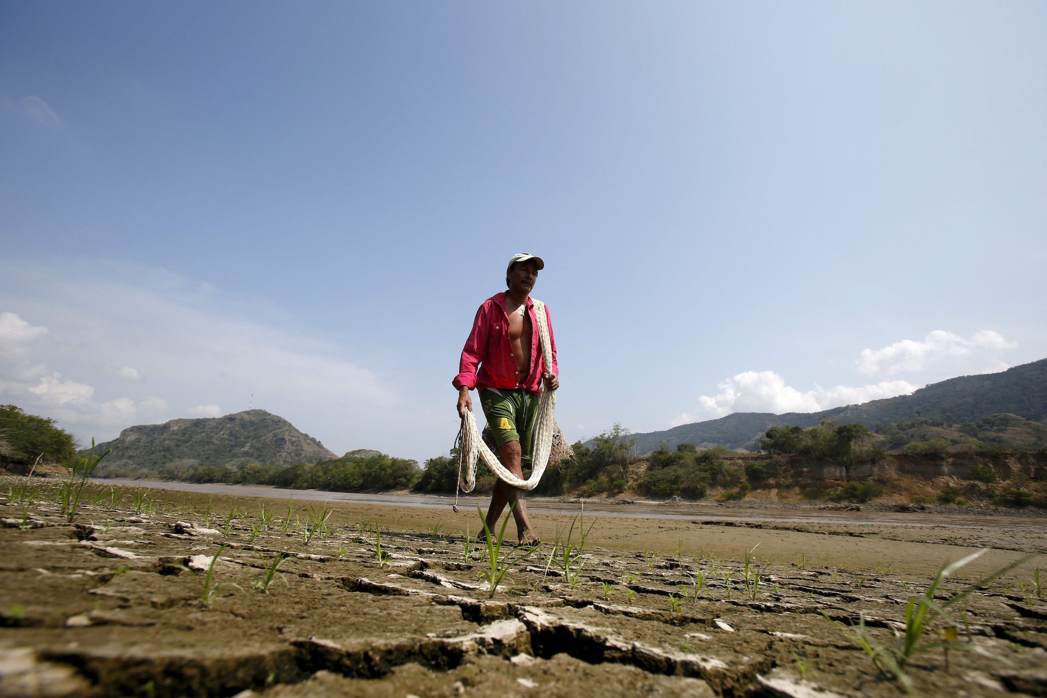
El Niño, a warming of water surface temperatures in the eastern and central Pacific Ocean, is linked to extreme weather conditions from tropical cyclones to heavy rainfall to severe droughts.
The statement from the global body confirmed a report last month from the US National Oceanic and Atmospheric Administration’s Climate Prediction Center that the phenomenon had returned.
The world’s hottest year on record, 2016, coincided with a strong El Niño – though experts say climate change has fueled extreme temperatures even in years without the phenomenon.
But that record could soon be broken, according to the WMO.
The organization said in May that there was a strong likelihood that at least one of the next five years, and the five-year period as a whole, would be the warmest on record due to El Niño and anthropogenic global warming.
“To tell you whether it be this year or next year is difficult,” Wilfran Moufouma Okia, head of the Regional Climate Prediction Service at the WMO, told reporters in Geneva on Tuesday.
“What we know is that throughout the next five years, we are likely to have one of the warmest years on record.”
During El Niño, winds blowing west along the equator slow down, and warm water is pushed east, creating warmer surface ocean temperatures.
The phenomenon occurs on average every two to seven years, and can last nine to 12 months, according to the WMO.
It is typically associated with increased rainfall in parts of southern South America, the southern United States, the Horn of Africa, and Central Asia.
In the past, it has caused severe droughts in Australia, Indonesia, parts of southern Asia, Central America, and northern South America. – Rappler.com
Add a comment
How does this make you feel?
There are no comments yet. Add your comment to start the conversation.