SUMMARY
This is AI generated summarization, which may have errors. For context, always refer to the full article.
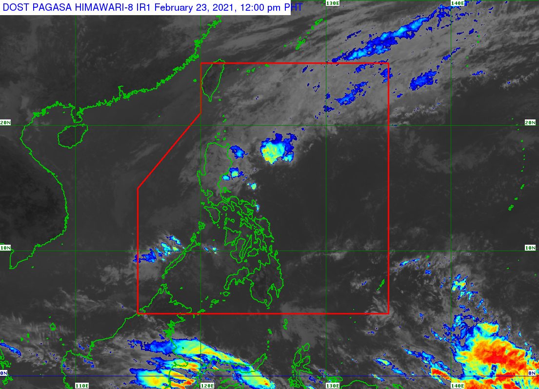
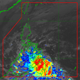
The low pressure area (LPA) which used to be Tropical Depression Auring (Dujuan) dissipated at 8 am on Tuesday, February 23.
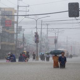
The National Disaster Risk Reduction and Management Council (NDRRMC) is validating reports that Auring left one dead and two others missing in the region of Caraga.
The province of Surigao del Sur was particularly hard hit in Caraga, with homes submerged in floods last weekend. Auring triggered heavy rain there as a tropical storm, before its landfall in the country.
As a tropical depression, Auring made landfall in Batag Island in Laoang, Northern Samar, at 9 am on Monday, February 22. Two hours after hitting land, it weakened into an LPA. (READ: FAST FACTS: Tropical cyclones, rainfall advisories)
Overall, NDRRMC data showed Auring affected at least 31,884 families, almost all in Caraga.
The NDRRMC also said a total of 18,996 families in 6 regions evacuated due to Auring.
- Caraga – 13,744 families
- Western Visayas – 2,086 families
- Central Visayas – 1,919 families
- Eastern Visayas – 812 families
- Davao Region – 430 families
- Northern Mindanao – 5 families
Around 240 houses were damaged in Caraga and the Davao Region – 60 of these totally damaged and 180 partially damaged.
Auring was the Philippines’ first tropical cyclone for 2021.
An average of 20 tropical cyclones form within or enter the Philippine Area of Responsibility (PAR) each year. (READ: LIST: PAGASA’s names for tropical cyclones in 2021)
These are the latest estimates of the Philippine Atmospheric, Geophysical, and Astronomical Services Administration (PAGASA) for tropical cyclones inside PAR in the next 6 months:
- February – 0 or 1
- March – 0 or 1
- April – 0 or 1
- May – 0 or 1
- June – 1 or 2
- July – 2 or 3
Meanwhile, PAGASA said in an 11 am advisory on Tuesday that the tail-end of a frontal system or shear line is affecting the eastern part of Northern Luzon.
Rain from the tail-end of a frontal system will be experienced on Tuesday.
Moderate to heavy rain
- eastern part of Isabela
- eastern part of mainland Cagayan
Light to moderate rain, with at times heavy rain
- rest of Cagayan Valley
- Aurora
- northern part of Quezon
“Under these conditions, isolated flash flooding and rain-induced landslides are likely during heavy or prolonged rainfall, especially in areas that are highly or very highly susceptible to these hazards,” PAGASA warned.
The state weather bureau earlier said La Niña is expected to continue until March 2021, causing above normal rainfall in the country. The onset of La Niña was declared in October 2020. – Rappler.com
Add a comment
How does this make you feel?


There are no comments yet. Add your comment to start the conversation.