SUMMARY
This is AI generated summarization, which may have errors. For context, always refer to the full article.
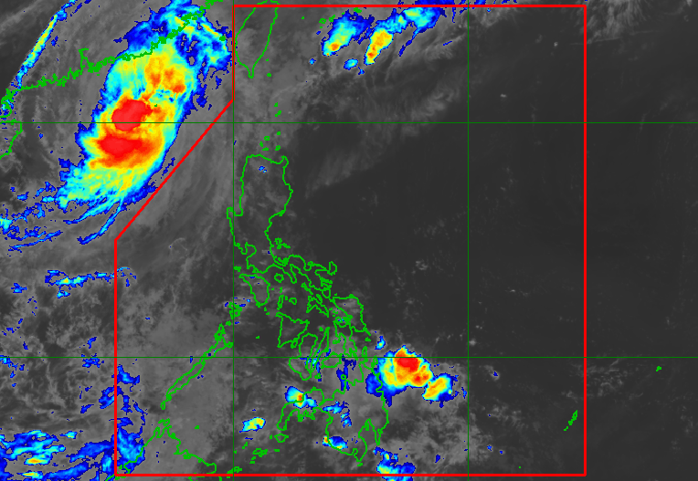
MANILA, Philippines – Tropical Depression Queenie (Banyan) weakened into a low pressure area (LPA) at 2 pm on Tuesday, November 1, a day after entering the Philippine Area of Responsibility (PAR).
At its peak, Queenie was a tropical storm, but it only stayed over the Philippine Sea.
On Tuesday afternoon, the remnant low that used to be Queenie was located 420 kilometers east of Hinatuan, Surigao del Sur, moving northwest at 20 kilometers per hour.
The Philippine Atmospheric, Geophysical, and Astronomical Services Administration (PAGASA) said in a bulletin issued at 5 pm that the remnant low will continue moving northwest.
It may dissipate in the next 12 hours.
Before the LPA dissipates, however, its trough or extension may still bring light to moderate rain, with at times heavy rain, to Caraga and the Davao Region. Floods and landslides remain possible.

Queenie was the Philippines’ 17th tropical cyclone for 2022. It entered PAR just a few hours before the exit of Severe Tropical Storm Paeng (Nalgae), which left over 100 people dead.
Paeng was located 585 kilometers west of Calayan, Cagayan, on Tuesday afternoon. Its trough may still trigger scattered rain showers and thunderstorms in Bataan, Zambales, and Pangasinan in the evening.
The rest of the country, not affected by either the trough of the LPA or the trough of the severe tropical storm, will only have localized thunderstorms.
So far, there is no new LPA or tropical cyclone being monitored.
PAGASA expects 3 to 6 tropical cyclones to enter or develop inside PAR from November 2022 to April 2023. Per month, these are the weather bureau’s estimates:
- November 2022 – 2 or 3
- December 2022 – 1 or 2
- January 2023 – 0 or 1
- February 2023 – 0 or 1
- March 2023 – 0 or 1
- April 2023 – 0 or 1
– Rappler.com
Add a comment
How does this make you feel?


There are no comments yet. Add your comment to start the conversation.