SUMMARY
This is AI generated summarization, which may have errors. For context, always refer to the full article.
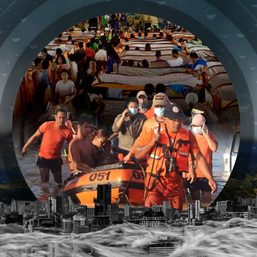
MANILA, Philippines – When disasters strike, what can you do to help others make informed decisions about their safety?
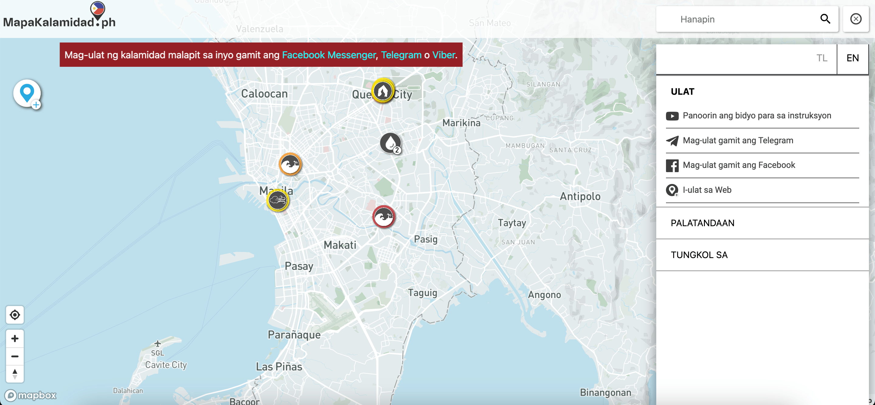
Among the ways that Filipinos can help out is to report hazards they observe in their communities during disasters. One platform aims to help facilitate that by allowing individuals and authorities to report and map earthquake, typhoon, volcanic eruption, and flooding events in their communities in real-time.
Initiated by Indonesia-based non-profit organization Yayasan Peta Bencana (Disaster Map Foundation), multi-hazard platform MapaKalamidad.ph offers people a chance to view, share, and map real-time disaster events in their communities. In doing so, residents, first responders, and government agencies can use the map to make decisions about safety, coordination and resource management. Among the users of the platform are official agency partners of MapaKalamidad.ph such as the Office of Civil Defense, which monitor and submit verified reports on the map.
The platform is one of many available in the Philippines that aims to facilitate data-driven responses to disasters. Among these options are Philippine Institute of Volcanology and Seismology’s HazardHunterPH and GeoMapperPH, as well as Rappler’s Project Agos.
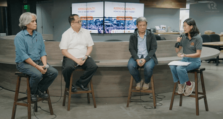
“When [authorities] see the reports coming in from residents, they’re able to identify exactly which locations need help and exactly how severe it is, so they can decide how to best allocate their resources because we know that resources are limited, staffing is often tight,” said Nashin Kelash Mahtani, director of Yayasan Peta Bencan.
MapaKalamidad.ph first started out as a flood-mapping platform covering only Quezon City and Pampanga in 2020, later going nationwide in 2022. By January 29, it has since expanded to allow users to report different hazards, such as earthquakes, typhoons, volcanic eruptions, and flooding events.
“During disasters, people are sharing information with each other on social media, not only sharing memes but also warning each other of blocked roads, of community efforts for response. This represents a vital information source for us to tap into….This is a method of crowdsourcing that allows us to reach millions of users every day, collecting information from street level, from people who know the situation best because they’re experiencing the disaster,” said Nashin Kelash Mahtani, Director of Yayasan Peta Bencana.
“We have seen that when disaster response professionals and residents work together, and when residential knowledge about local conditions is integrated into disaster response efforts, communities can convert the noise of social media into inclusive, life-saving, humanitarian infrastructure,” she added.
How to report?
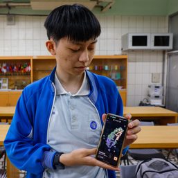
During disasters, people can report real-time hazards in their communities for free and anonymously on MapaKalamidad.ph using social media or its web-based platform.
According to MapaKalamidad.ph, here are some of the ways you can submit hazard reports in the platform:
- Facebook message Mapakalamidad.ph
- Message @mapakalamidad on Facebook Messenger
- Click on “Get Started” and select the disaster to report
- MapaKalamidad.ph’s bot will send you a one-time link to submit a disaster report
- Open the link and follow the instructions to input hazard location, upload photo, and description.
- MapaKalamidad.ph’s bot will send you a reply with a link to your report
- Telegram message @kalamidadbot
- Search for and message @kalamidadbot on Telegram
- Click on “/start” and select the disaster to report
- MapaKalamidad.ph’s bot will send you a one-time link to submit a disaster report
- Open the link and follow the instructions to input hazard location, upload photo, and description.
- MapaKalamidad.ph’s bot will send you a reply with a link to your report
- Report on the website
- Open MapaKalamidad.ph on your browser
- Click the Report icon on the upper left of the page and select the disaster to report
- Click the Report Disaster button and follow the instructions to input hazard location, upload photo and description
People may view the map on the MapaKalamidad.ph website.
As the submissions appear real-time, people may also flag if there are inaccurate reports on the platform to alert administrators. Mahtani added that since they are working in collaboration with the Office of Civil Defense, the agency can confirm reports with their on-ground staff and flag these if needed.
Mahtani shared that MapaKalamidad.ph was intentionally designed to be web-based, and not an application. By allowing people to file reports using select social media platforms, MapaKalamidad.ph gets to meet people where they are already at, and there doesn’t need to have heavy training to use the platform.
“Mapakalamidad is also designed to be extremely data-lite and usable on a mobile phone, so it’s easy to access even for agencies with limited technical funding, and even if the connection is poor…. We’re really focused on what [are] the crucial types of data that people need to make decisions about response at a community level. We’re very selective about the type of information coming [in], but we welcome other agencies to use that as a layer of data in their existing data sets,” said Mahtani.
They’re working on integrating SMS services, radio services, as well as other means of reporting to allow other people to file reports even without internet connection, according to Mahtani.
Since the project is fully open source, interested organizations may collaborate with MapaKalamidad.ph for data integration and extraction in case they may want to use the information to complement existing maps and efforts. For more details, you may refer to this.
The development of MapaKalamidad.ph’s multi-hazard platform was made with the support of the Bureau of Humanitarian Assistance of US Agency for International Development, the Office of Civil Defense, Mapbox, and Humanitarian OpenStreetMap Team. – Rappler.com
Let’s continue the conversation! Join the Climate Change chat room of Rappler Communities to be part of conversations about how we can mitigate the effects of climate change through sustainable efforts. The application is available on iOS and Android.
Do you know of other interesting campaigns or efforts that aim to solve issues in your community? Tell us more about them by emailing move.ph@rappler.com.
Add a comment
How does this make you feel?


There are no comments yet. Add your comment to start the conversation.