SUMMARY
This is AI generated summarization, which may have errors. For context, always refer to the full article.
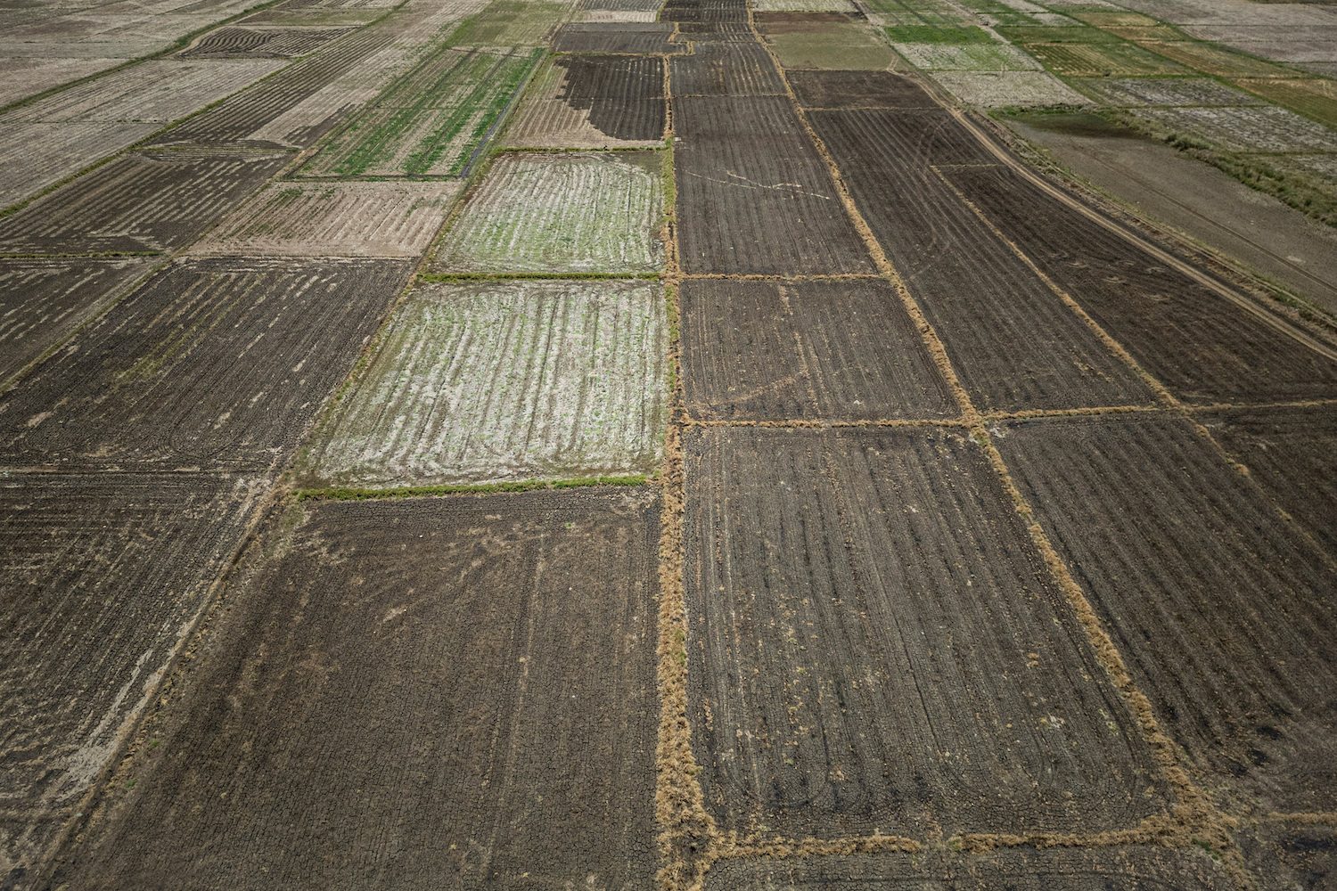
MANILA, Philippines – The El Niño phenomenon, which triggered droughts in parts of the Philippines and caused agricultural losses worth billions of pesos, has ended.
The Philippine Atmospheric, Geophysical, and Astronomical Services Administration (PAGASA) announced in a statement on Friday, June 7, that “conditions in the tropical Pacific have returned to El Niño Southern Oscillation (ENSO)-neutral levels.”
El Niño, La Niña, and neutral are the three phases of ENSO, which the World Meteorological Organization (WMO) defines as “a recurring natural phenomenon characterized by fluctuating ocean temperatures in the equatorial Pacific, coupled with changes in the atmosphere.”
Despite the shift to ENSO-neutral conditions and the effects of the southwest monsoon or habagat, PAGASA expects some areas to still have below-normal rainfall.
“The rainfall forecast for [June] suggests below-normal rainfall conditions will likely be experienced over Cagayan, CAR (Cordillera Administrative Region), and most of the western section of Luzon, while near-normal conditions are expected over the rest of the country,” the weather bureau said.
Also in June, the provinces of Apayao and Cagayan may continue to experience droughts, while Bataan, Pangasinan, Tarlac, and Zambales could have dry spells.
The Department of Agriculture estimated in May that the cost of damage to agriculture and fisheries in 13 regions had reached P9.50 billion.
More than 175,000 farmers and fisherfolk have been affected by El Niño in CAR, Ilocos Region, Cagayan Valley, Central Luzon, Calabarzon, Mimaropa, Bicol, Western Visayas, Eastern Visayas, Zamboanga Peninsula, Central Mindanao, Davao Region, and Soccsksargen.
Eventual transition to La Niña
The just-concluded El Niño episode began in the tropical Pacific Ocean in June 2023, gradually progressing from weak to strong.
The WMO previously said that the 2023-2024 El Niño is “one of the five strongest on record.”
From ENSO-neutral, a transition to La Niña is likely in the July-September period. There is now a 69% chance of this occurring, according to PAGASA.
The weather bureau had raised La Niña Watch in early March, informing the public months in advance that the phenomenon might occur.
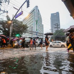
La Niña “is characterized by unusually cooler than average sea surface temperatures in the central and eastern equatorial Pacific.” It triggers above-normal rainfall in the Philippines.
“All concerned government agencies and the general public are encouraged to monitor and take precautionary measures against impending climate impacts,” the weather bureau said on Friday.
The country’s rainy season began in late May, after two months of excessive heat during the warm and dry season. – Rappler.com
Add a comment
How does this make you feel?

![[In This Economy] El Niño-nomics: How intense heat is drying up the Philippine economy](https://www.rappler.com/tachyon/2024/05/TL-El-nino-nomics-May-3-2024.jpg?resize=257%2C257&crop=264px%2C0px%2C720px%2C720px)


There are no comments yet. Add your comment to start the conversation.