SUMMARY
This is AI generated summarization, which may have errors. For context, always refer to the full article.
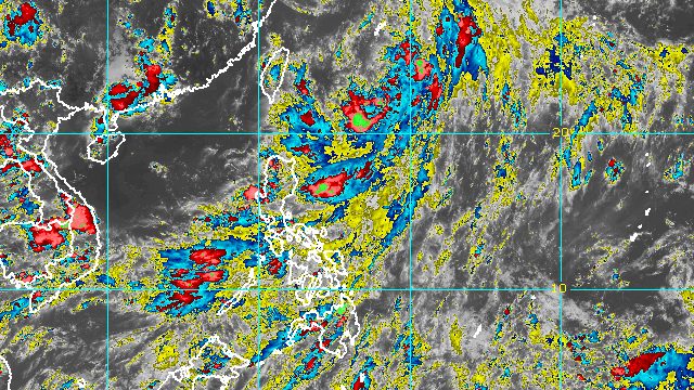
MANILA, Philippines – The southwest monsoon or hanging habagat dumped more rain in western sections of Central Luzon, Southern Luzon, and the Visayas on Saturday afternoon, July 30.
The Philippine Atmospheric, Geophysical, and Astronomical Services Administration (PAGASA) said the southwest monsoon is still being enhanced by Tropical Depression Ester as well as Tropical Storm Songda, which is outside the Philippine Area of Responsibility (PAR).
PAGASA warned that monsoon rain will persist in the following areas on Saturday evening:
- Metro Manila
- Calabarzon
- Mimaropa
- Pangasinan
- Zambales
- Bataan
- Pampanga
- Bulacan
Scattered rain and thunderstorms, still due to the southwest monsoon, will also continue in these areas:
- rest of Central Luzon
- Bicol
- Eastern Samar
- Northern Samar
- Samar
- Aklan
- Antique
Areas affected by the southwest monsoon must stay on alert for possible floods and landslides.
Ester, meanwhile, has no direct effect on the Philippines since it has stayed far from land.
PAGASA said the tropical depression was located 575 kilometers east of Itbayat, Batanes, on Saturday afternoon, slowly moving north toward Japan’s Ryukyu Islands.
Due to Ester’s slow pace, its exit from PAR may happen by Sunday afternoon, July 31, instead of Saturday.
So far, Ester has maintained its strength, with maximum sustained winds of 45 kilometers per hour and gustiness of up to 55 km/h.
There are no tropical cyclone wind signals in place.
Ester and the southwest monsoon, however, are still causing moderate to rough seas in the northern and eastern seaboards of the country. Waves are 1.2 to 2.8 meters high, making travel risky for small vessels.

PAGASA expects 9 to 13 tropical cyclones to enter or develop inside PAR from August 2022 to January 2023. Per month, these are the weather bureau’s estimates:
- August 2022 – 2 or 3
- September 2022 – 2 or 3
- October 2022 – 2 to 4
- November 2022 – 2 or 3
- December 2022 – 1 or 2
- January 2023 – 0 or 1
– Rappler.com
Add a comment
How does this make you feel?


There are no comments yet. Add your comment to start the conversation.