SUMMARY
This is AI generated summarization, which may have errors. For context, always refer to the full article.
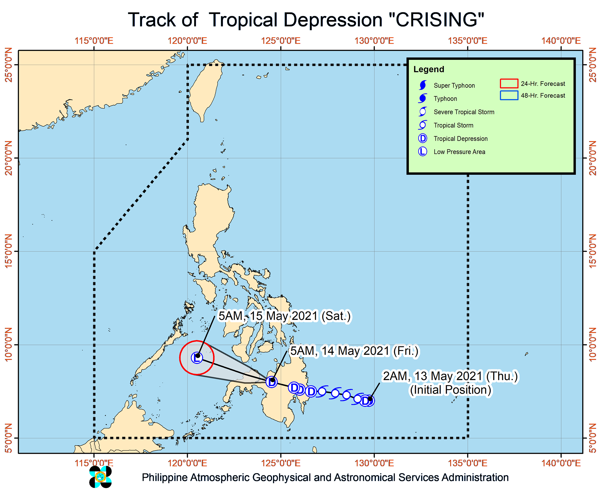
Tropical Depression Crising accelerated early Friday morning, May 14, and moved over the vicinity of Marawi City, Lanao del Sur.
It had made landfall in Baganga, Davao Oriental, at 8:20 pm on Thursday, May 13, shortly after it weakened from a tropical storm into a tropical depression.
In a bulletin issued 8 am on Friday, the Philippine Atmospheric, Geophysical, and Astronomical Services Administration (PAGASA) said Crising was already heading west northwest at 15 kilometers per hour (km/h).
The tropical depression is expected to emerge over the Sulu Sea in the next 6 to 12 hours.
Its maximum sustained winds are at 45 km/h, with gustiness of up to 75 km/h, after it slightly weakened before dawn on Friday.
PAGASA said Crising will eventually weaken into a remnant low within 24 hours.
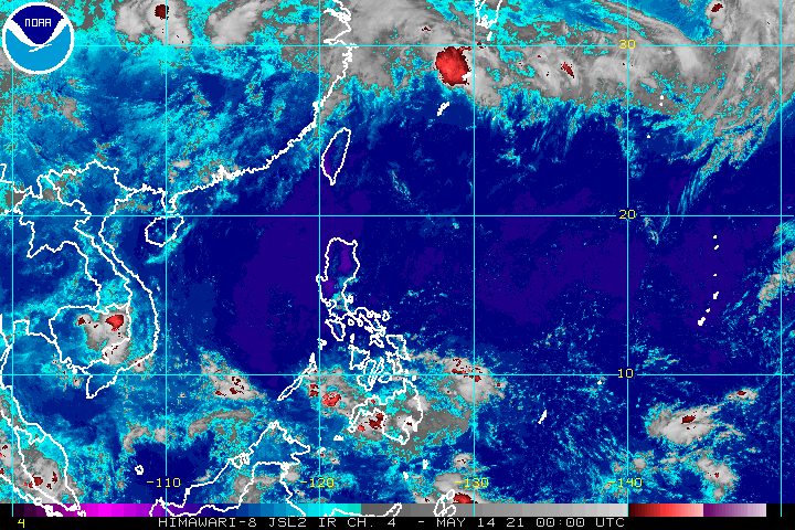
But rain from the tropical depression may persist on Friday, possibly causing isolated flash floods and landslides.
Light to moderate rain, with at times heavy rain
- Zamboanga Peninsula
- Davao Oriental
- Davao de Oro
- Davao del Norte
- Davao City
- Davao del Sur
- Cotabato
- Maguindanao
- Bukidnon
- Lanao del Norte
- Lanao del Sur
- Misamis Occidental
Signal No. 1 also remains raised in the areas below. PAGASA said the following will experience strong breeze conditions, especially in coastal and mountainous areas:
- southeastern part of Negros Oriental (Dumaguete City, Valencia, Sibulan, Santa Catalina, Siaton, Zamboanguita, Dauin, Bacong)
- Siquijor
- western part of Misamis Oriental (Jasaan, Villanueva, Tagoloan, Cagayan de Oro City, Opol, El Salvador City, Alubijid, Manticao, Lugait, Naawan, Initao, Libertad, Gitagum, Laguindingan)
- western part of Bukidnon (Manolo Fortich, Sumilao, Pangantucan, Kalilangan, Talakag, Baungon, Libona)
- northwestern part of Cotabato (Banisilan, Alamada)
- northern part of Maguindanao (Matanog, Barira, Buldon)
- Lanao del Sur
- Lanao del Norte
- Misamis Occidental
- northeastern part of Zamboanga del Sur (Midsalip, Sominot, Dumingag, Molave, Mahayag, Josefina, Tambulig, Ramon Magsaysay, Aurora, Tukuran, Labangan)
- northeastern part of Zamboanga del Norte (Sergio Osmeña Sr., Katipunan, President Manuel A. Roxas, Jose Dalman, Manukan, Dipolog City, Polanco, Piñan, Mutia, Dapitan City, Sibutad, Rizal, La Libertad)
The seaboards of areas under Signal No. 1 also have moderate to rough waters on Friday, with waves 1.2 to 2.8 meters high.
PAGASA advised small vessels and “inexperienced mariners” not to venture out to sea.
Crising is the Philippines’ third tropical cyclone for 2021 and the first for May.
For the next 6 months, PAGASA estimates the following number of tropical cyclones inside the Philippine Area of Responsibility:
- May – 0 or 1
- June – 1 or 2
- July – 1 to 3
- August – 2 or 3
- September – 2 or 3
- October – 2 or 3
The Philippines gets around 20 tropical cyclones each year. (READ: LIST: PAGASA’s names for tropical cyclones in 2021) – Rappler.com
Add a comment
How does this make you feel?


There are no comments yet. Add your comment to start the conversation.