SUMMARY
This is AI generated summarization, which may have errors. For context, always refer to the full article.
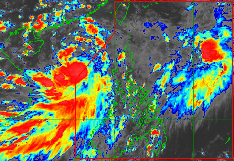
MANILA, Philippines – The low pressure area (LPA) over the Philippine Sea developed into a tropical depression at 2 pm on Thursday, June 30, and was given the local name Domeng.
Tropical Depression Domeng is the Philippines’ fourth tropical cyclone for 2022.
Domeng comes less than a day after the exit of Caloy, which has since intensified from a tropical depression into a tropical storm outside the Philippine Area of Responsibility (PAR). Caloy’s international name is Chaba.
Like Caloy, Domeng will not make landfall in the Philippines. But both Caloy and Domeng are enhancing the southwest monsoon or hanging habagat.
Domeng was located 930 kilometers east of extreme Northern Luzon on Thursday afternoon, the Philippine Atmospheric, Geophysical, and Astronomical Services Administration (PAGASA) said in its 5 pm bulletin.
The tropical depression is moving northwest, or generally upward, at 15 kilometers per hour (km/h). It will remain far from Philippine landmass, according to PAGASA.
So far, Domeng has maximum sustained winds of 45 km/h and gustiness of up to 55 km/h. It may strengthen into a tropical storm within 24 hours.
There are no tropical cyclone wind signals in effect, given Domeng’s distance from the country.

Caloy, meanwhile, was located 475 kilometers west of Iba, Zambales, on Thursday afternoon. It is heading northeast at only 10 km/h.
The tropical storm has maximum sustained winds of 75 km/h and gustiness of up to 90 km/h.
Due to the southwest monsoon enhanced by both Caloy and Domeng, monsoon rain is expected in these areas:
- Zambales
- Bataan
- Occidental Mindoro
- Palawan
The rest of Luzon will also have scattered rain and thunderstorms due to the enhanced southwest monsoon.
Still because of the southwest monsoon, occasionally gusty conditions are likely in the following areas:
- extreme Northern Luzon
- northern and western parts of Luzon
- western part of Visayas
PAGASA warned of moderate to rough seas, with waves 2.1 to 4 meters high, in the seaboards of Northern Luzon and the western seaboards of Central Luzon and Southern Luzon due to both Domeng and the southwest monsoon. Travel could be risky for small vessels.
Domeng is projected to leave PAR on Saturday, July 2, either in the morning or afternoon. It may then pass very close to or make landfall in Japan’s Ryukyu Islands on Saturday evening or Sunday morning, July 3.
PAGASA expects 11 to 15 tropical cyclones to enter or develop inside PAR from July to December. Per month, these are the weather bureau’s estimates:
- July – 2 or 3
- August – 2 or 3
- September – 2 or 3
- October – 2 to 4
- November – 2 or 3
- December – 1 or 2
– Rappler.com
Add a comment
How does this make you feel?


There are no comments yet. Add your comment to start the conversation.