SUMMARY
This is AI generated summarization, which may have errors. For context, always refer to the full article.
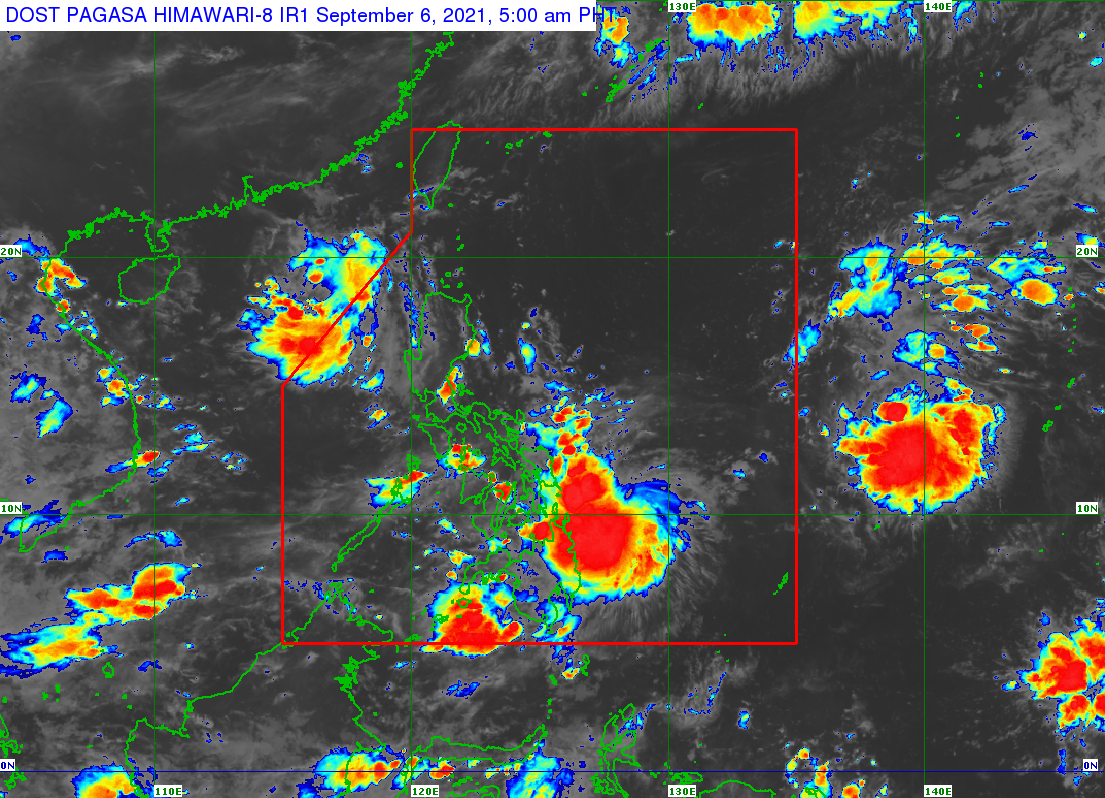
The low pressure area (LPA) off Eastern Samar developed into a tropical depression at 2 am on Monday, September 6.
It was given the local name Jolina, as the Philippines’ 10th tropical cyclone for 2021. It is also the first tropical cyclone for September.
The Philippine Atmospheric, Geophysical, and Astronomical Services Administration (PAGASA) said in a briefing past 6 am that Jolina was located 300 kilometers east southeast of Guiuan, Eastern Samar, or 310 kilometers east of Surigao City, Surigao del Norte.
The tropical depression is moving west southwest at 20 kilometers per hour (km/h).
It has maximum sustained winds of 45 km/h and gustiness of up to 55 km/h.
Signal No. 1 is now raised in the following areas:
- Eastern Samar
- Dinagat Islands
- Siargao and Bucas Grande in Surigao del Norte
PAGASA said strong breeze to near gale conditions will be experienced in areas under Signal No. 1.
Jolina may also bring moderate to heavy rain on Monday to the same areas:
- Eastern Samar
- Dinagat Islands
- Surigao del Norte including Siargao and Bucas Grande
PAGASA warned that isolated to scattered flash floods and landslides are possible.
“Dahil medyo mahinang hangin po ang dala ng bagyo, ‘yung mga pag-ulan po at ‘yung hazards na dala niyan – pagbaha at pagguho ng lupa – ang mas kailangan paghandaan,” PAGASA Weather Specialist Ariel Rojas explained.
(Since the tropical depression’s winds aren’t that strong, we should prepare more for the rainfall and its accompanying hazards – floods and landslides.)
Jolina could also trigger moderate to rough seas in the eastern seaboards of the Visayas and Mindanao on Monday. Small vessels should take precautionary measures as waves may be 1.2 to 2.8 meters high.
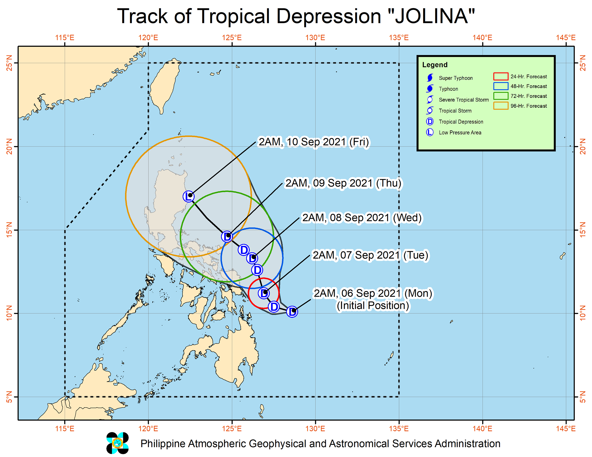
The state weather bureau expects Jolina to briefly head west or west southwest, and then generally move northwest, parallel to the east coast of the Philippines.
The tropical depression could make landfall in Northern Luzon by Friday, September 10.
PAGASA advised the public, however, to monitor for possible changes in Jolina’s track in succeeding bulletins.
Jolina is likely to remain a tropical depression until its possible landfall. After that, it may weaken into an LPA.
There is also another tropical depression outside the Philippine Area of Responsibility (PAR), located 1,480 kilometers east of the Visayas early Monday.
It is moving north northwest at 15 km/h, and Rojas said it may enter PAR within 24 to 36 hours. If it enters, it would be given the local name Kiko.
Like Jolina, the tropical depression outside PAR has maximum sustained winds of 45 km/h and gustiness of up to 55 km/h. (READ: FAST FACTS: Tropical cyclones, rainfall advisories)
Meanwhile, an LPA near Batanes already left PAR. It was 375 kilometers west of Itbayat, Batanes, over the West Philippine Sea, before dawn on Monday.
For the next six months, these are PAGASA’s estimates for the number of tropical cyclones inside PAR:
2021
- September – 2 or 3
- October – 2 or 3
- November – 2 or 3
- December – 1 or 2
2022
- January – 0 or 1
- February – 0 or 1
An average of 20 tropical cyclones form within or enter PAR each year. (READ: LIST: PAGASA’s names for tropical cyclones in 2021) – Rappler.com
Add a comment
How does this make you feel?


There are no comments yet. Add your comment to start the conversation.