SUMMARY
This is AI generated summarization, which may have errors. For context, always refer to the full article.
GENERAL SANTOS, Philippines – The earthquake that struck Sarangani town in Davao Occidental and nearby provinces on Wednesday afternoon, January 18, did not cause any damage despite its strong magnitude, due to its depth as well as its location.
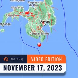
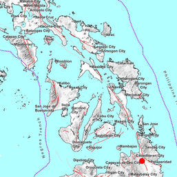
Nane Danlag, the head of the seismic station of the Philippine Institute of Volcanology and Seismology (Phivolcs) in General Santos, said on Thursday, January 19, that the epicenter of the earthquake was located more than 300 kilometers off the tip of Mindanao, in Indonesian waters, and was traced at a depth of 64 kilometers.
Danlag added that such earthquakes usually produce weak intensities.
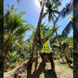
Graybert Malinog, anti-disaster and rescue officer of Sarangani town, Davao Occidental, said no one was hurt and there was no damage in the town.
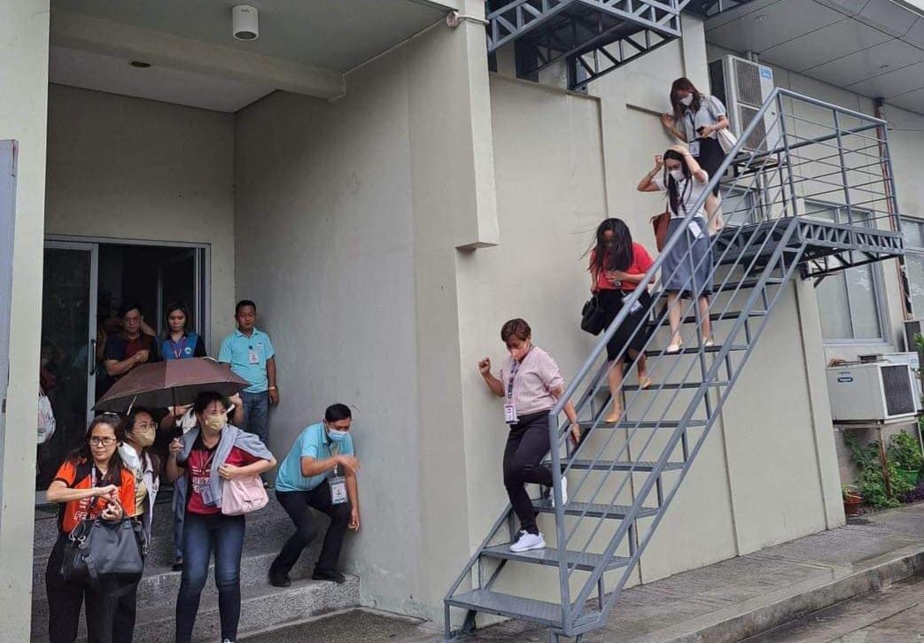
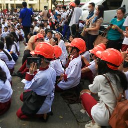
The earthquake was felt at intensity 2 in General Santos and prompted residents and workers to seek shelter in safer places.
“The ground shook. Who will not run?” Esther Pasmita, a storekeeper in General Santos, said.
Although the earthquake was technically an “Indonesian earthquake,” Phivolcs still plotted the tremor and reported it as it was felt in some parts of Mindanao, said Danlag.
Phivolcs initially reported that the earthquake occurred at 2:06 pm on Wednesday with a depth of 40 km, and traced its origin to be 346 kilometers southeast of Balut Island in the town of Sarangani in Davao Occidental.
The tremor was also felt at intensity 2 as its peak in several towns in Sarangani province, South Cotabato, Sultan Kudarat, and the cities of Koronadal and General Santos. It was felt at intensity 1 in Lake Sebu and Surallah towns in South Cotabato, and Columbio town in Sultan Kudarat.
Both the Philippines and Indonesia are located on the Pacific Ring of Fire, a region known for its high seismic activity and potential for earthquakes and volcanic eruptions. – Rappler.com
Add a comment
How does this make you feel?


![[ANALYSIS] Lessons in resilience from Japan’s New Year’s Day earthquake](https://www.rappler.com/tachyon/2024/01/TL-japan-earthquake-warning-system-jan-3-2024.jpg?resize=257%2C257&crop_strategy=attention)

There are no comments yet. Add your comment to start the conversation.