SUMMARY
This is AI generated summarization, which may have errors. For context, always refer to the full article.
The Philippines is the center of marine biodiversity in the world, and the February 28 Oriental Mindoro oil spill occurred smack in the heart of the country’s richest fishing and aquatic area.
The Oriental Mindoro oil spill threatens the marine ecology not only of the Philippines but the world, Department of Environment and Natural Resources (DENR) Secretary Ma. Antonia Yulo-Loyzaga warned on Friday, March 3.
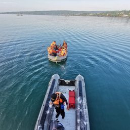
The DENR secretary flew to the province south of Metro Manila to assess the damage caused by the oil spill from the sunken MT Princess Empress, which capsized on February 28 in Balingawan Point off the coast of Naujan town.
The DENR secretary said the government was “looking at the big picture” in determining the impact of the oil spill.
The most urgent task, she stressed, was finding the exact location of the sunken vessel, to allow scientists to pinpoint how broad and deep the damage to the marine environment could get.
Loyzaga said the oil spill would have “vast implications” not only for the country, but for the world.
Affected towns
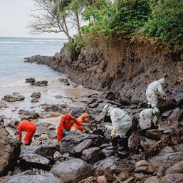
The Philippine Coast Guard (PCG) said black, foul-smelling sludge has reached the shores of eight of Oriental Mindoro’s 13 municipalities: Naujan, Pola, Pinamalayan, Gloria, Bansud, Bongabong, Roxas, and Mansalay.
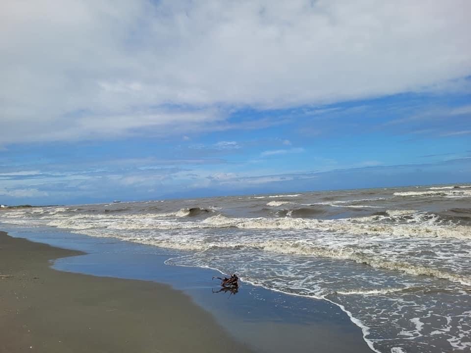
An aerial reconnaissance flight by the Coast Guard Aviation Force (CGAF) observed a shortening of the oil spillage, from six kilometers on March 1 to under three kilometers on March 3.

But reports from other Coast Guard units showed a spreading oil spill.
Coast Guard Romblon reported signs of oil on Sibale Island on Friday. Romblon is east of Oriental Mindoro.
Around 5 pm on the same day, the Coast Guard district in Western Visayas said officials had called an emergency meeting after a report from their station in Semirara Caluya indicated sighting of an “undertermined quantity of oil probably coming from MT Empress.”
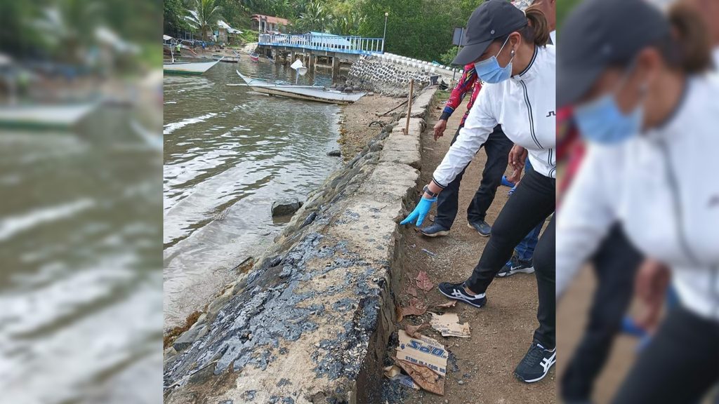
The PCG on Thursday, March 2, said the MT Princess Empress cargo of industrial oil had started to leak after a spill of the vessel’s diesel fuel.
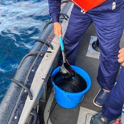
The PCG deployed a water depressant at the site of the oil spill, around 13.7 kilometers off Naujan. But in Pola town, Mayor Jennifer Cruz said local government personnel and residents were reduced to manually scooping and mopping up the shoreline sludge with pails, dippers, sponges, and rugs.
The Pola town council approved on March 3 the state of calamity declared by Cruz.

Global threat
The general area of the maritime accident, the Tablas Strait, is a strategic waterway connecting Luzon and the Visayas.
The oil spill threatens some of the country’s richest areas of biodiversity like the Verde Island Passage linking the island of Mindoro to Batangas on the Luzon mainland. The Verde Island Passage covers the village of Anilao in Mabini, Batangas, as well as Puerto Galera town in Oriental Mindoro, and Verde Island.
Mindoro Oriental has a coastline of around 342.45 kilometers and almost 311,000 hectares of municipal waters. This is according to the Oriental Mindoro Integrated Coastal Area Management Plan 2019-2023, which was drafted by the Provincial Agriculture Office-Provincial Fisheries and Coastal Resource Management Division with the Malampaya Foundation Inc. and the Partnerships in Environmental Management for the Seas of East Asia.
The province has around 2,392 hectares of mangroves, 4,537 hectares of coral reefs, and 1,196 hectares of seagrass habitats.
Almost 18,000 persons – 12,570 males and 5,402 females – rely on municipal fishing for livelihood.
A separate report by the provincial agriculture office said that the province’s fisheries production from January to October 2019 was recorded at 7,301.12 metric tons.
The bulk of production, almost 5 MTs, was contributed mainly by municipal fisheries, which the government agency credited to the continuous establishment of marine protected areas.
Three badly-hit towns – Pinamalayan, Pola, and Gloria – and Puerto Galera exhibited “highly diverse fish species,” the report said.
After decades of struggle to establish marine protected areas (MPA) where human activities are strictly managed to protect the environment, commercial maritime traffic caused one of the most serious threats to the country’s marine economy.
Here are the natural resources in the many protected areas and sanctuaries threatened by the MT Princess Empress oil spill.
Verde Island Passage
The Verde Island Passage is a key marine corridor, linking Manila to the Visayas and to Mindanao, with busy traffic in ferries carrying humans and cargo across Batangas, Marinduque, Romblon, Occidental Mindoro, and Oriental Mindoro.
The passage connects the South China Sea with the Tablas Strait, the Sibuyan Sea, and the Cuyo Pass, and covers around 1.4 million hectares.
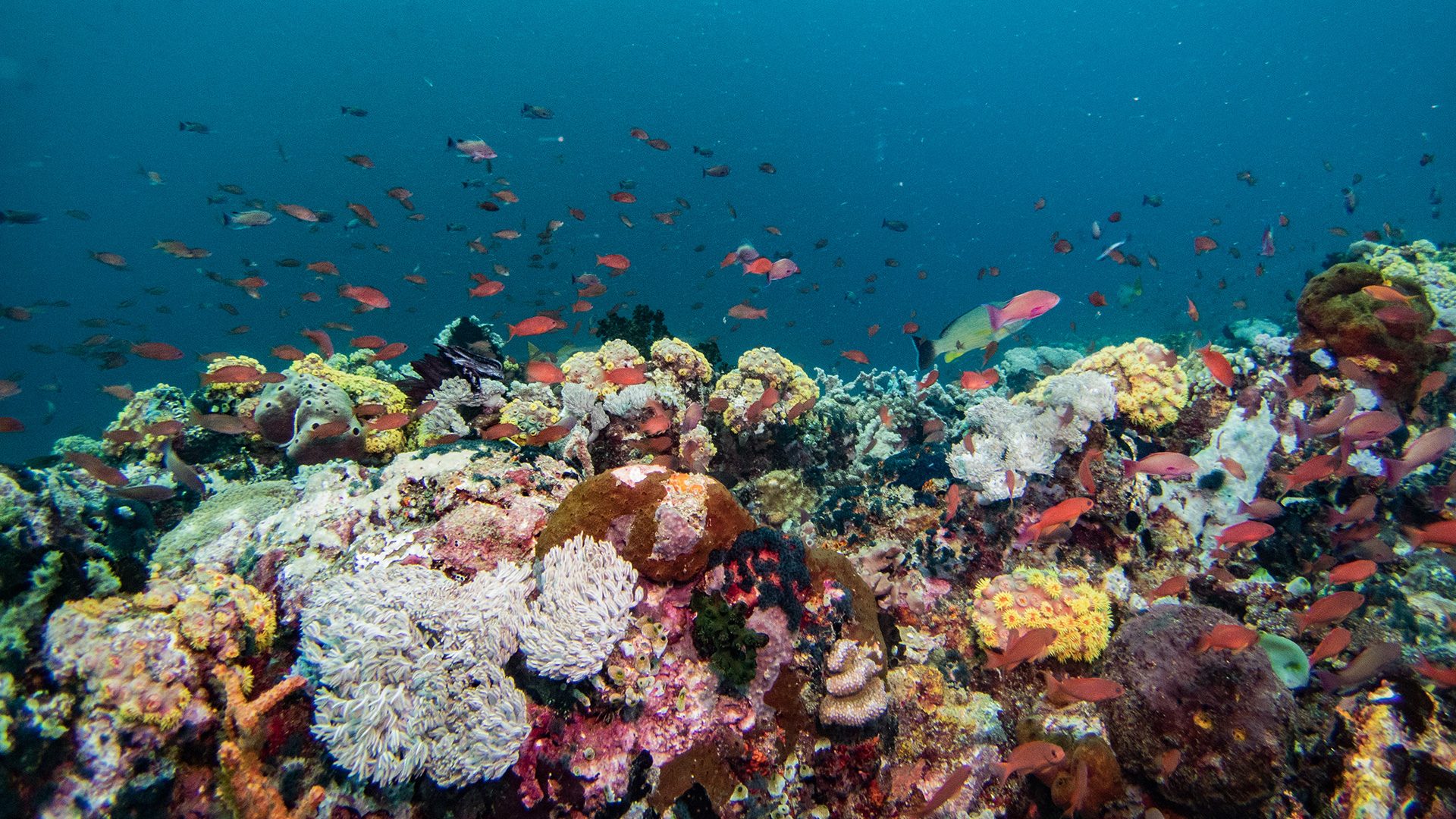
Verde Island Passage also lies at the center of global marine biodiversity and often dubbed “the heart of the Coral Triangle.”
The coasts, islands, and waters are home to extraordinary marine species, including the Bryde’s and false killer whales, spinner and bottlenose dolphins, hawksbill, olive ridley and green turtles, whale sharks, and countless fish species.
The corridor is the spawning ground for marine life that feeds into the surrounding ecosystems throughout the region, according to Conservation International Philippines.
The underwater wonderland hosts 60% of the world’s shore fish species among its more than 300 species of corals, reef formations, and rock canyons.
The Verde Management Plan Framework by the DENR and Conservation International Philippines seeks to protect the food, livelihoods and other benefits of two million people.
Within and around the passage are 16,000 hectares of marine protected areas, including coral reefs and mangrove forests. Every few years, new species are discovered around the area.
The Philippine government started the process of petitioning the United Nations Educational, Scientific and Cultural Organization to declare the passage body a World Heritage Site. The provinces of Batangas, Oriental Mindoro, Occidental Mindoro, Romblon, and Marinduque are backing this effort.
Top 5 marine protected areas

An October 2019 survey conducted by the Oriental Mindoro agriculture office included the country’s top five marine protected areas (MPAs) with the highest live coral cover ranging from 62% to 91% or very good to excellent.
Three of these are in the towns that have reported oil spill damage:
- Agsalin Fish Sanctuary in the municipality of Gloria topped the 2017 MPA list. It covers more than 10 hectares, extends 700 to 800 meters from the shore, with a depth of up to 18.2 meters. It is famous for a thriving marine population that includes many fish species, giant clams, sea cucumbers, lobsters, barracuda, and sea turtles.
- Ranzo Fish Sanctuary in Pinamalayan is a 16.39-hectare protected area described by the United Nations Development Programme as home to giant squid, manta ray, and marine turtles.
- St. John the Baptist in Pola covers 49 hectares of waters in Barangay Puting Cacao.
The other areas among the top 5 MPAs are Harka Piloto Fish Sanctuary in Calapan City, and the Coral Garden in Puerto Galera.
Pola town has a total of 140 hectares of protected areas, including St. John the Baptist in barangays Misong, Puting Cacao, and Calima. – Rappler.com
Add a comment
How does this make you feel?


There are no comments yet. Add your comment to start the conversation.