SUMMARY
This is AI generated summarization, which may have errors. For context, always refer to the full article.
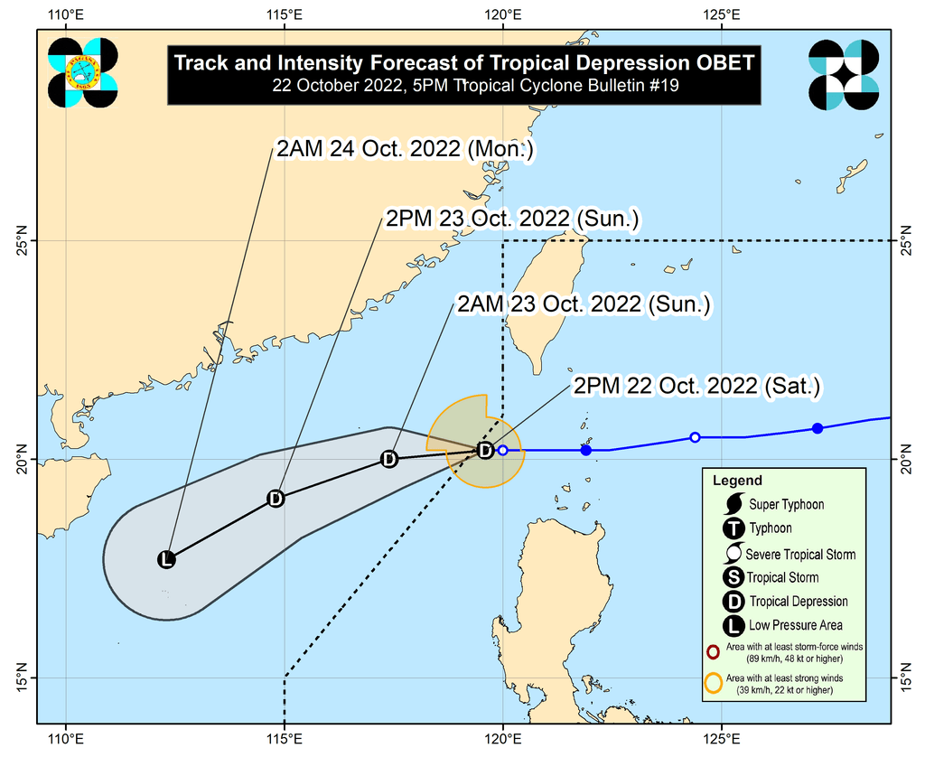
MANILA, Philippines – Tropical Depression Obet left the Philippine Area of Responsibility (PAR) at 4:30 pm on Saturday, October 22, a day after it passed close to the province of Batanes.
Obet was already 260 kilometers west of Basco, Batanes, on Saturday afternoon, slowly moving west.
It maintained its strength as it left PAR, with maximum sustained winds of 45 kilometers per hour and gustiness of up to 55 km/h.
But the Philippine Atmospheric, Geophysical, and Astronomical Services Administration (PAGASA) said Obet may weaken into a remnant low on Monday, October 24, due to the cold and dry air brought by the northeast monsoon or hanging amihan.
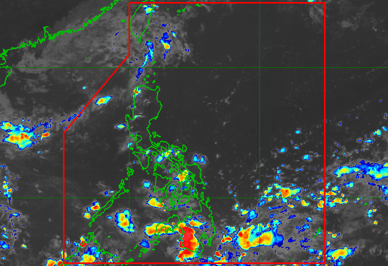
Obet did not make landfall in the Philippines, but it triggered rain and strong winds in Northern Luzon.
It was the country’s 15th tropical cyclone for 2022 and the third for October.
After Obet, PAGASA is monitoring a low pressure area (LPA) outside PAR, located 1,525 kilometers east of Mindanao on Saturday afternoon.
The weather bureau said the LPA could develop into a tropical depression and enter PAR in the coming days.
Meanwhile, the intertropical convergence zone (ITCZ) is bringing scattered rain showers and thunderstorms to the following areas in Mindanao on Saturday:
- Davao Region
- Bangsamoro Autonomous Region in Muslim Mindanao
- Zamboanga Peninsula
The ITCZ is a belt near the equator where the trade winds of the Northern Hemisphere and Southern Hemisphere meet, usually causing LPAs or thunderstorms.
The northeast monsoon is also bringing isolated light rain to Cagayan Valley and the Cordillera Administrative Region, but PAGASA said there will be “no significant impact.”
The rest of the country only have localized thunderstorms. – Rappler.com
Add a comment
How does this make you feel?


There are no comments yet. Add your comment to start the conversation.