SUMMARY
This is AI generated summarization, which may have errors. For context, always refer to the full article.
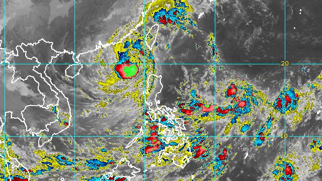
MANILA, Philippines – Typhoon Neneng (Nesat) left the Philippine Area of Responsibility (PAR) at 8 pm on Sunday, October 16, the same day it made landfall.
By late Sunday evening, Neneng was already 335 kilometers west northwest of Calayan, Cagayan, or 375 kilometers west of Basco, Batanes, moving west northwest at 20 kilometers per hour (km/h).
The Philippine Atmospheric, Geophysical, and Astronomical Services Administration (PAGASA) said in its 11 pm bulletin that Neneng maintained its strength, with maximum sustained winds of 120 km/h and gustiness of up to 150 km/h.
Since Neneng is no longer inside PAR, tropical cyclone wind signals have been lifted. Signal No. 3 was the highest wind signal raised due to the typhoon.
The southwesterly winds “induced” by Neneng, however, may bring occasional gusts to the following areas:
- western part of Luzon
- eastern part of Central Luzon
- western part of Visayas
PAGASA also said Neneng’s trough or extension and “the convergence of its circulation” with the induced southwesterly winds could still trigger occasional rain in these areas:
- western part of Mimaropa
- western part of Visayas
- northern and western parts of Mindanao
Neneng earlier dumped torrential rain, triggering floods and landslides. It made landfall in Calayan Island as a severe tropical storm at 3:50 am on Sunday.
Coastal conditions also remain risky even though the typhoon has left PAR. Rough to very rough seas, with waves 3.7 to 5 meters high, may persist in the following seaboards:
- northern seaboard of Northern Luzon (Batanes, Babuyan Islands, northern coast of Cagayan, Ilocos Norte)
- western seaboard of Northern Luzon (Ilocos Sur, La Union, Pangasinan)
PAGASA advised fishing boats and other small vessels not to sail, and larger vessels to watch out for big waves.

Neneng was the Philippines’ 14th tropical cyclone for 2022 and the second for October.
PAGASA expects 5 to 9 tropical cyclones to enter or develop inside PAR from October 2022 to March 2023. Per month, these are the weather bureau’s estimates:
- October 2022 – 2 to 4
- November 2022 – 2 or 3
- December 2022 – 1 or 2
- January 2023 – 0 or 1
- February 2023 – 0 or 1
- March 2023 – 0 or 1
– Rappler.com
Add a comment
How does this make you feel?


There are no comments yet. Add your comment to start the conversation.