SUMMARY
This is AI generated summarization, which may have errors. For context, always refer to the full article.
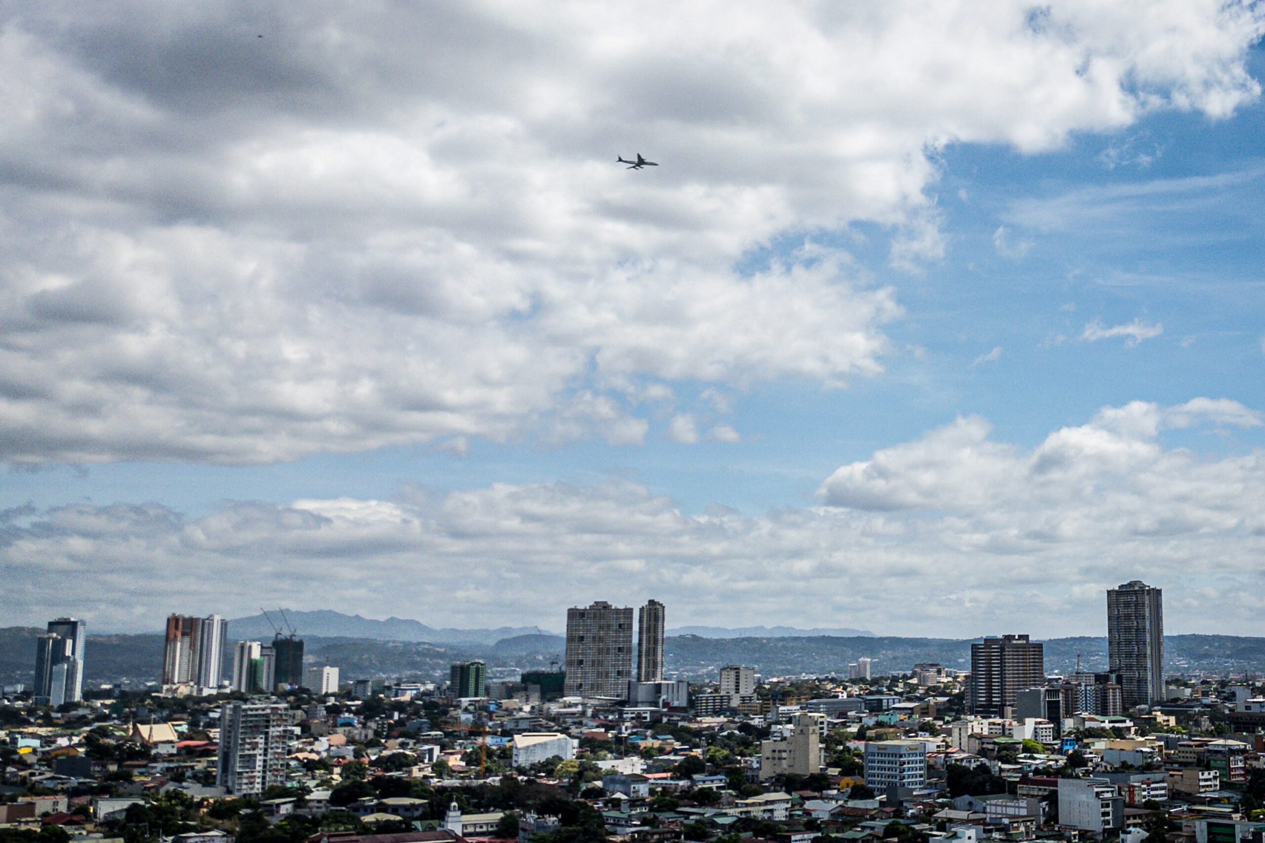
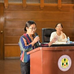
MANILA, Philippines – Free and accessible satellite images are underutilized in the Philippines’ fight against disasters and climate change, government officials and scientists said on Tuesday, March 19.
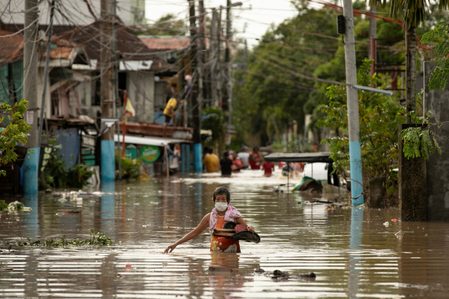
Satellite images capture land cover changes, sea level rise, and ice mass loss. Over time, these data could show an accurate picture of a warming planet.
Satellite data are made available to the public through programs from the United States’ National Aeronautics and Space Administration or NASA and the European Space Agency, among others. But despite their availability, the Philippines has yet to maximize the use of such data.
“It’s an acceptable truth that satellite information is still underutilized despite the fact that about 60% of essential climate variables are being measured [with it],” said Marcelino Villafuerte II, a scientist from state weather bureau Philippine Atmospheric, Geophysical and Astronomical Services Administration or PAGASA.
“I think that challenges that we have right now are more of having an open mind [in] utilizing such kind of information,” Villafuerte said during a forum in Makati on Tuesday.
For example, PAGASA, an agency tasked to forecast calamities and provide warnings to communities, has only one unit that focuses on satellite data utilization.
“And that one unit is actually composed of less than 10 people,” said Villafuerte.
Inside the Department of Environment and Natural Resources, Undersecretary Carlos Primo David heads the geospatial database office (GDO), which uses satellite imagery to keep tabs on the country’s natural resources as well as activities that affect Philippine biodiversity. David manages 10 people under this office established in 2023.
How it’s being used now
While not yet mainstreamed in government agencies, academic institutions have already made use of satellite imagery in past research.
In the same forum, geologist Mahar Lagmay shared how the academe used satellite images to determine how the temperature in Metro Manila is hotter than in rural areas or how some areas devastated by Super Typhoon Yolanda (Haiyan) are susceptible to shallow landslides.
Lagmay is currently the executive director of the University of the Philippines Resilience Institute.
The geologist agreed that there’s a dearth of people who know how to make use of such data. One thing the government can do is invest in state universities and colleges by providing equipment.
“Basically, it’s getting people to become aware that there [is] a lot of imagery that’s available,” Lagmay said.
“There [are] a lot of platforms that can be used so that we can investigate the country in more detail – not just place-wise but also time-wise.”
Meanwhile, the GDO in the environment department has used satellite imagery to determine which projects do not have environmental compliance certificates. David, a geologist himself, said their office also found illegal mining operations and unrestored mining sites. They were also able to map out the Philippines’ water and mineral resources, as well as forest lands.
The technology has made this kind of surveillance work more cost-effective, said David.
“With 10 people in our team, and a whole country to map out, there’s actually no way to do that except that if we use satellite imagery.”
“The next step there really is leveraging on this technology for progress and economic development that comes after this mapping.”
Open data and communities
Aside from utilizing data to check how climate change affects communities and compounds natural hazards, Lagmay said information must be disseminated across government agencies and communities.
Information must be “at the tips of our fingers” and open data would pave the way to better planning and a more proactive stance toward impending disasters, said Lagmay.
“When we plan communities through the land use plan, the DRRM (disaster risk reduction and management) plan, the climate change action plan, you need all of these data sets,” the geologist said.
“Data sets need to be shared, they cannot be in silos. We don’t want to shortchange the people in communities.”
– Rappler.com
Add a comment
How does this make you feel?


There are no comments yet. Add your comment to start the conversation.