SUMMARY
This is AI generated summarization, which may have errors. For context, always refer to the full article.
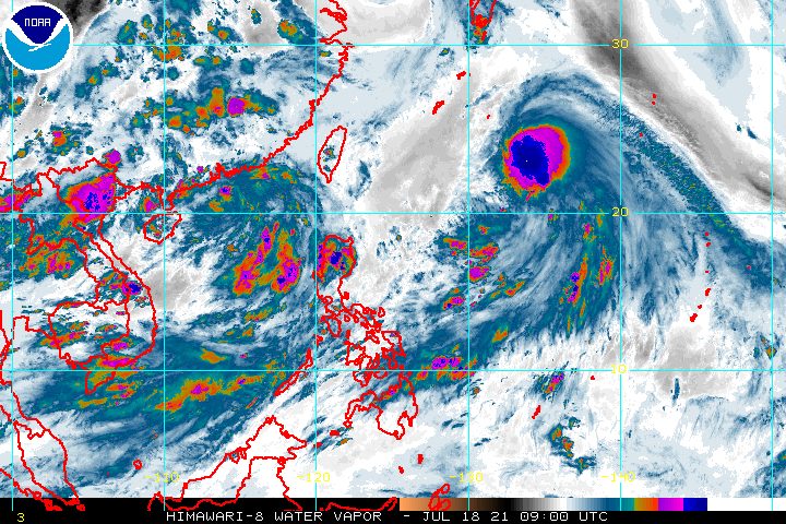
Tropical Storm Fabian (In-fa) slightly intensified as it continued to move over the Philippine Sea on Sunday afternoon, July 18.
Fabian now has maximum sustained winds of 75 kilometers per hour from the previous 65 km/h and gustiness of up to 90 km/h from the previous 80 km/h.
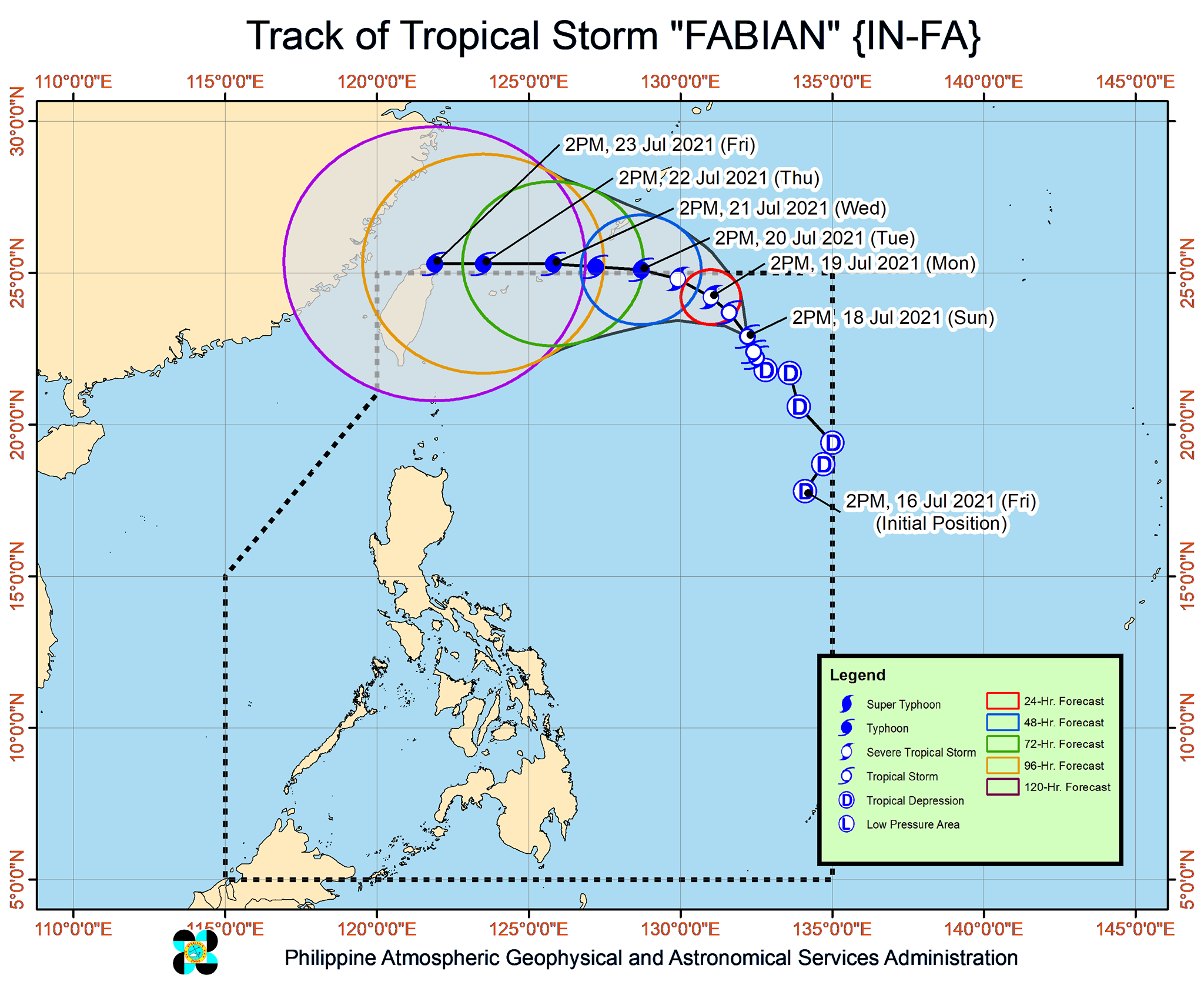
The Philippine Atmospheric, Geophysical, and Astronomical Services Administration (PAGASA) said in a briefing past 5 pm on Sunday that Fabian may strengthen further into a severe tropical storm by Monday afternoon, July 19, and into a typhoon by Tuesday afternoon, July 20.
Fabian’s peak intensity may reach 140 km/h. (READ: FAST FACTS: Tropical cyclones, rainfall advisories)
As of Sunday afternoon, Fabian was located 1,095 kilometers east northeast of extreme Northern Luzon.
The tropical storm is moving north northwest at a slow pace of 10 km/h.
Given Fabian’s distance from land and the forecast which shows it will not make landfall in the Philippines, no rain is expected from the tropical storm. There are no tropical cyclone wind signals in effect as well.
But Fabian and a tropical depression outside the Philippine Area of Responsibility (PAR) – the same low pressure area earlier on Sunday which has since intensified – are still enhancing the southwest monsoon or hanging habagat.
The tropical depression’s location outside PAR is 770 kilometers west of Basco, Batanes. It is moving away from the Philippines and heading for China.
Monsoon rain will persist in these areas in the next 24 hours:
- Palawan
- Occidental Mindoro
- Zambales
- Bataan
Scattered rain and thunderstorms due to the southwest monsoon may also hit the following:
- rest of Luzon
- Central Visayas
- Western Visayas
- Northern Mindanao
- Zamboanga Peninsula
- Tawi-Tawi
- Sulu
- Basilan
As for Fabian, PAGASA said it will move northwest in the next 24 hours and exit through the PAR northern boundary on Monday evening or Tuesday morning.
After leaving, Fabian could move west, just right above the PAR northern boundary. If it shifts toward the south, however, it could reenter PAR.
Fabian is the Philippines’ sixth tropical cyclone for 2021 and the second for July.
Around 20 tropical cyclones form within or enter PAR each year. (READ: LIST: PAGASA’s names for tropical cyclones in 2021)
For the rest of 2021, these are PAGASA’s estimates per month:
- July – 1 to 3
- August – 2 or 3
- September – 2 or 3
- October – 2 or 3
- November – 2 or 3
- December – 1 or 2
The rainy season has been underway since early June. – Rappler.com
Add a comment
How does this make you feel?


There are no comments yet. Add your comment to start the conversation.